Expedition Log: BIOT – Day 1
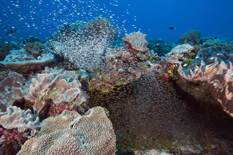
We have just arrived at the Chagos Archipelago to study some of the most remote reefs on the planet for the latest leg of the Global Reef Expedition.
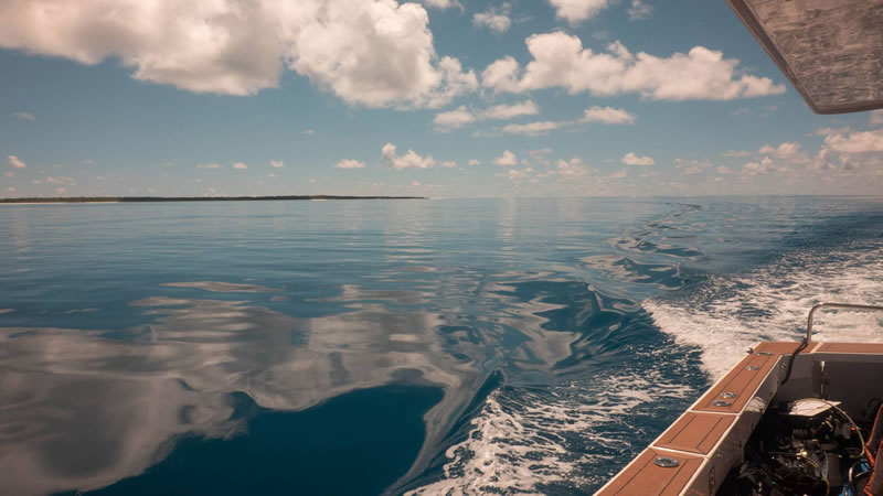
M/Y Golden Shadow has just completed the 7,350 km journey from the Micronesian islands of Palau in the Pacific Ocean to the Chagos Archipelago in the British Indian Ocean Territory (BIOT).
Photos: Stefan Andrews (top), Ken Marks (bottom)
The Chagos Archipelago is located in the middle of the Indian Ocean, 500 km south of the Maldives, the closest island chain. Seven atolls, more than 60 small islands, and at least eight mostly or fully submerged shallow banks of Chagos are all located along a long submarine mountain range in the British Indian Ocean Territory (BIOT). BIOT includes 544,000 square km of ocean habitats, all of which are protected in the Chagos Marine Reserve, the largest no-take marine protected area on earth. Our research will focus on 12 regions in BIOT, surveying coral reefs surrounding islands, atolls and submerged banks.
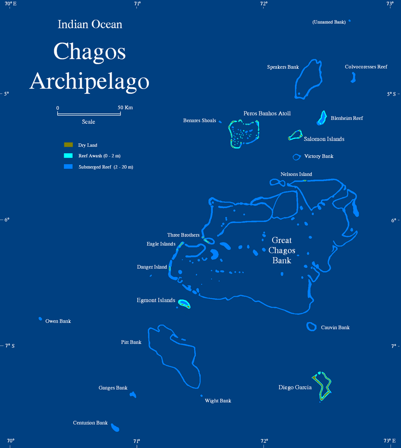
(click on map image to enlarge)
The Chagos Archipelago is a remote island chain in the middle of the Indian Ocean made up of 7 atolls and over 60 small islands.
Map courtesy of Wikipedia Commons*
In addition to habitat mapping, baseline surveys of reef health, and specific research on the health of corals and coral symbionts we typically conduct on the Global Reef Expedition, we have several new objectives for this mission. One of our partners is a group of researchers from Woods Hole Oceanographic Institution, who are taking long cores from some of the large massive Porites colonies. Their research will help us understand long-term (decades to centuries) patterns of climate change. This work complements the ongoing study with NOAA and the University of Miami on the effects of ocean acidification on coral growth. We also are working with scientists from NOVA Southeastern University, who plan to reexamine sites they surveyed in 2006, providing a window to understand how these reefs have changed. In all cases, Chagos provides the perfect opportunity to better understand climate impacts on coral reef systems because there are no confounding human variables such as land based pollution and fishing.
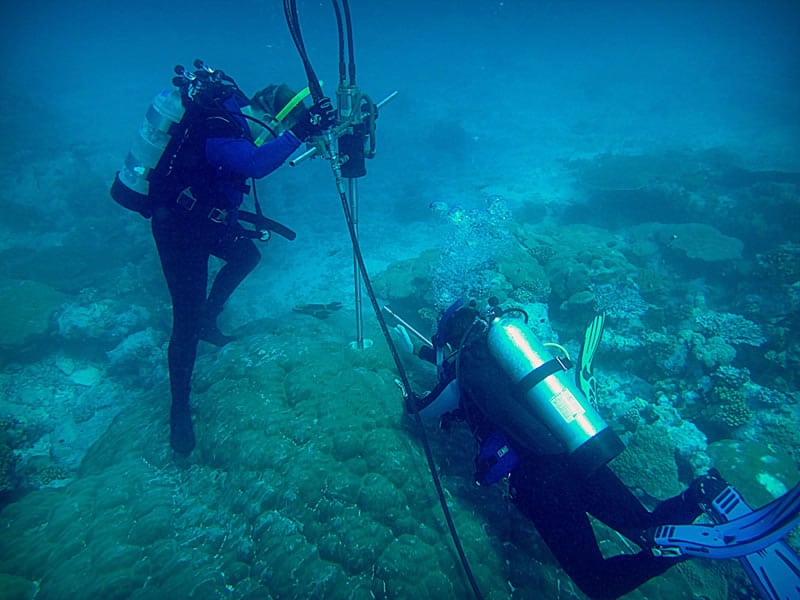
Woods Hole Oceanographic Institution scientists Konrad Hughen and Colleen Hansel take a drill core from a Porites lobata colony in the Chagos Archipelago. The coral core will be analyzed for its chemical composition in order to study past changes in climate and coral health.
Photo: Justin Ossolinski, WHOI
For the Living Oceans Foundation survey team, Chagos provides an ideal control (unimpacted) site to better understand patterns of recovery from temperature-related bleaching and other stressors associated with climate change. In 1998, during a particularly severe El Niño, corals around the Indian Ocean bleached and died. Coral losses of up to 80% were reported. After nearly two decades, recovery has been highly variable, especially in populated areas. There are predictions that 2015 may be another year of unusually warm water temperatures with the possibility of mass bleaching. Our surveys can provide key information on the extent of recovery since the 1998 bleaching event, while also serving as a baseline against which to measure the impact of future bleaching events.
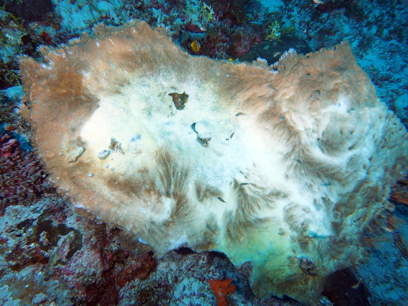
A bleached table coral we saw on our first day of diving in Chagos.
Photo: Andrew Bruckner
* “Chagos map” by Mohonu at en.wikipedia – Own work. Licensed under Public Domain via Wikimedia Commons.