Project scientists provided daily reports of observations and operations during a three week expedition to the southern Seychelles. The information was delivered in near-real time to raise marine environmental awareness within schools and excite students about careers in science.
In January 2005, the Foundation partnered with the Cambridge Coastal Research Unit of the University of Cambridge, the Seychelles Centre for Marine Research and Technology, and Trident Trust to establish a comprehensive ecosystem knowledge baseline due to the dramatic impact of the 1997/1998 El Nino Southern Oscillation (ENSO) ocean warming event on the Indian Ocean coral reefs. This ENSO event resulted in the loss of 60-90% of live coral cover in the Seychelles Islands. Scientists used the Golden Shadow to survey more than 800 square kilometers of shallow marine environments through CASI, mounted on the Golden Eye seaplane.
The primary objectives of this research project included aerial spectrographic mapping of numerous islands and their surrounding reefs in the southern Seychelles, and surveys of the benthic communities and fish communities of these reefs. Eleven high-resolution benthic habitat maps were created from this research project for the purpose of aiding the Seychelles government in marine conservation efforts and management plans, which are available on our World Reef Map and in the Atlas of the Amirantes.
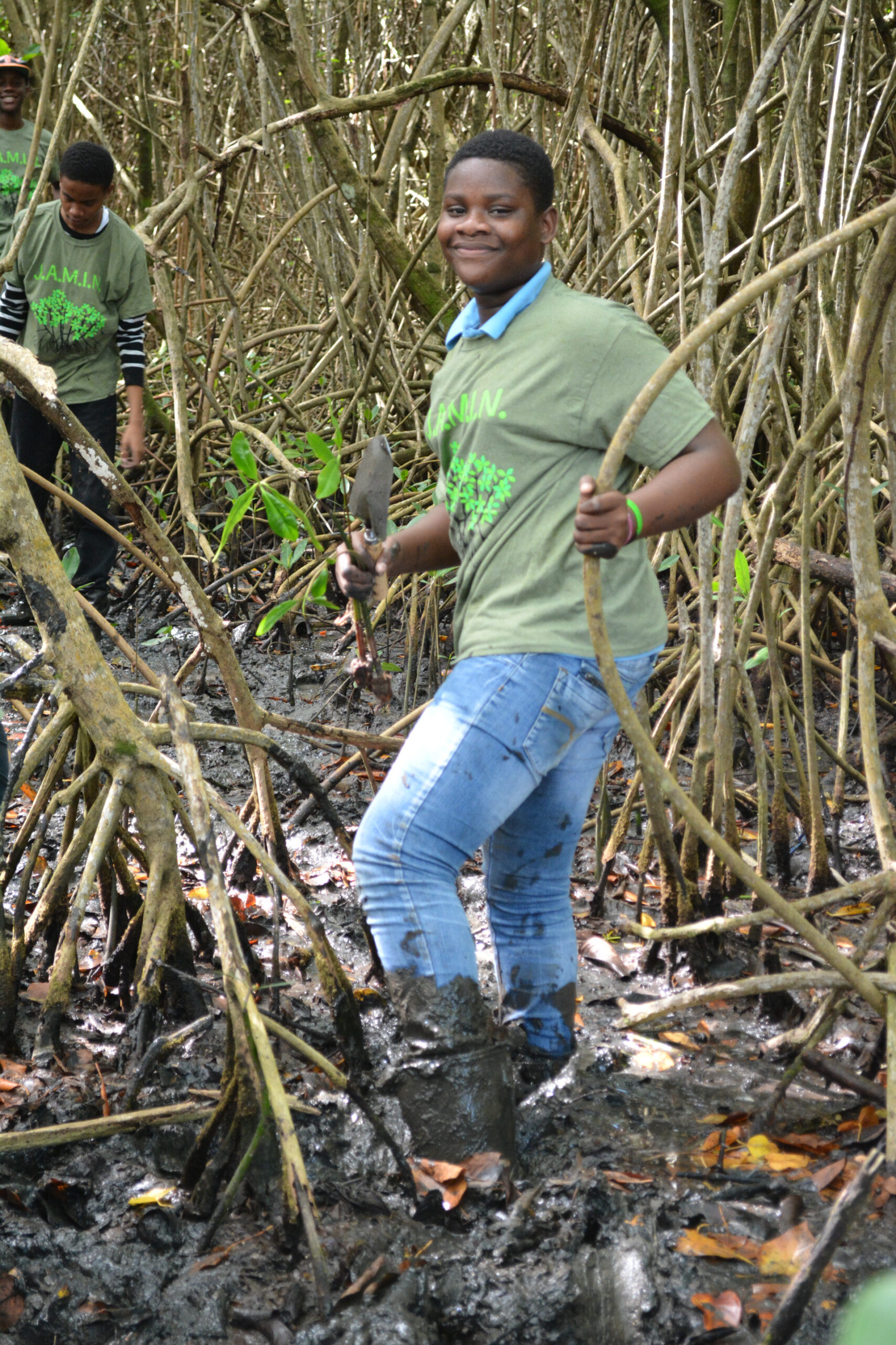
In addition to conducting research, we provided students and the general public with daily reports of scientific observations and operational activities during the mission. We also created curriculum-relevant materials in support of our education and outreach endeavors. The goal of our education work was to raise marine environmental awareness within schools and motivate and excite young people about the exciting and rewarding careers available through a science education.