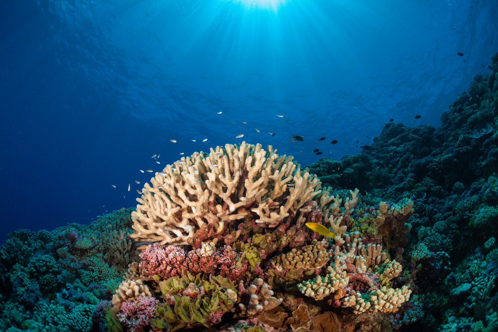
We conducted extensive mapping of local reefs for an area of over 41,000 hectares – the largest analysis of its kind ever performed in the U.S. Virgin Islands – to develop baseline data of reef systems. The project led to the discovery of new reefs that were previously unknown.
The U.S. Virgin Islands expedition was the Foundation’s first “remote sensing” mission, during which scientists from the US, Canada, and the UK visited 400 sites and surveyed the coral reefs of St. John and St. Thomas Islands and investigated the diversity of marine life. Our goal with this mission was to improve the mapping of coral reefs, to understand the patterns and dynamics of reef communities, and to improve the use of habitat maps for conservation.
The Foundation focused on gathering data to support management action on behalf of marine resource conservation, while the deployment of the Compact Airborne Spectrographic Imager (CASI) and provided Dr. Fenical and Dr. Peter Mumby (Principal Investigators), and other scientists at Scripps Institution the opportunity to collect marine organisms that exhibit antibiotic, antiviral or anticancer properties. After establishing baseline data for targeted coral reef systems in the area, the US Virgin Islands expedition team pinpointed potential Marine Protected Areas (MPAs) that could be designed for conserving regional marine biodiversity. Detailed marine habitat maps have been created and are available on the Living Oceans Foundation website and were shared with the U.S. Virgin Islands National Park Service for use in selecting sites to designate as MPAs.