search-icon
Getting to the bottom of things

One of our survey methods that we do while diving at each site is photo transecting. Photo transects involve taking evenly measured photos of the reef bottom. This not only gives us a permanent record of the reef condition, but it also allows us to do a more detailed analysis after the dive. Executive Director Phil Renaud, Chief Scientist Andy Bruckner and Ken Marks have been taking photo transects on this trip to Rangiroa. Combined they take several photo transects every 5 meters from 30 to 5 meters depth.

Ken Marks taking photo transects.
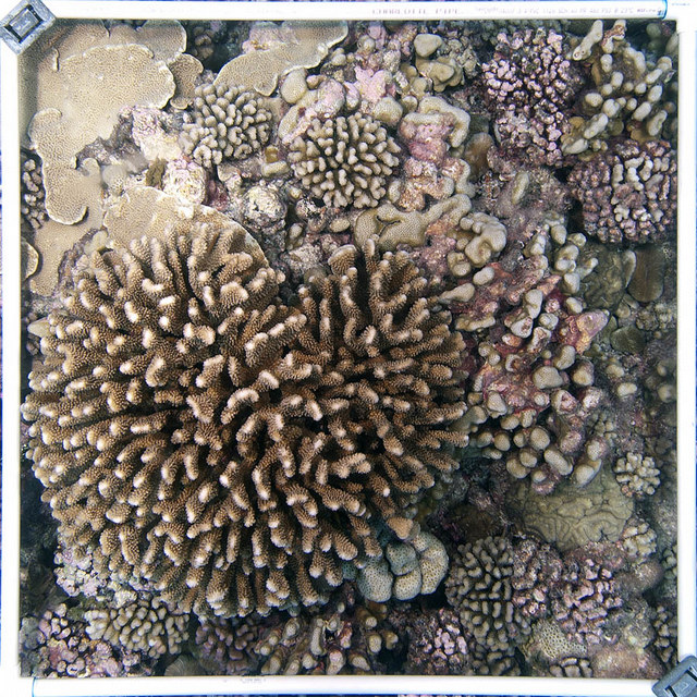
A coral filled quadrat.
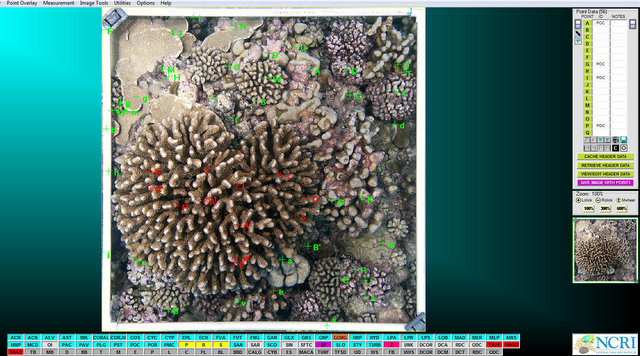
A screenshot of one of the programs used to analyze photo transects.


Each photo they take covers one square meter of reef. Using these photos, in combination with various computer programs, we can calculate the percentage of each organism on the bottom, the different sizes of corals or even the total area covered by coral. Photo transects are just another tool we have to help us describe and evaluate these reefs.

(Photos by 1-Brian Beck, 2-Ken Marks)

To follow along and see more photos, please visit us on Facebook!
Related Posts

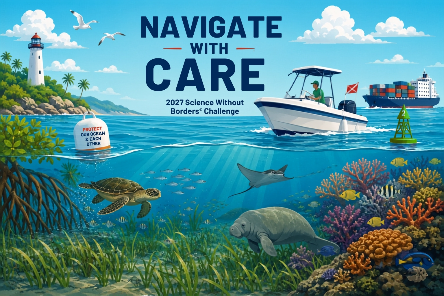
Announcing the 15th Annual Science Without Borders® Challenge: Navigate with Care

Every day, fishing boats, ferries, sailboats, kayaks, research vessels, cargo ships, whales, sea turtles, dolphins, seabirds, and countless other marine animals share the same waters. While people rely on the ocean for transportation, recreation, research, fishing, and exploration, it is also home to some of the most diverse and important ecosystems on Earth.

That simple but powerful idea is the inspiration behind the 15th Annual Science Without Borders® Challenge.

Read More

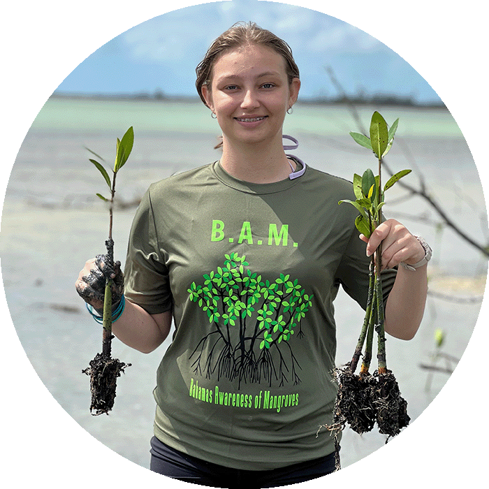
2025-2026 B.A.M. Student Voices

Throughout the Bahamas Awareness of Mangroves (B.A.M.) and Jamaica Awareness of Mangroves in Nature (J.A.M.I.N.) programs, we evaluate each phase of the mangrove education and restoration process to better understand how students are learning, growing, and connecting with their coastal environments.

Before the programs begin, students share what they already know about mangroves and how they feel about them. As the program progresses, we continue to gather feedback to see how their knowledge evolves from identifying mangrove species and understanding food webs to recognizing the role mangroves play in coastal protection and climate change mitigation.

But the surveys go beyond science content.

We also ask students…

Read More
Privacy Overview

This website uses cookies so that we can provide you with the best user experience possible. Cookie information is stored in your browser and performs functions such as recognising you when you return to our website and helping our team to understand which sections of the website you find most interesting and useful.  You can view our complete Privacy Policy here.

Strictly Necessary Cookies

Most of our cookies are used to improve website security and reduce spam. These cookies should be enabled at all times. They also enable us to save your preferences for cookie settings.

3rd Party Cookies

This website uses Google Analytics to collect anonymous information such as the number of visitors to the site, and the most popular pages. Keeping this cookie enabled helps us to improve our website.