
search-icon
The Untamed, Cool Tropical Islands of French Polynesia

Our final Expedition to French Polynesia takes us to the Austral Islands, the southernmost group of islands located from 500-750 km from Tahiti.  We are exploring four small high islands: Raivavae (16 sq. km), Rimatara (8.6 sq. km), Tubuai (45 sq. km), and Rurutu (32.3 sq. km), and one low island, Maria.  These islands are estimated to be about 12 million years old, having formed over a volcanic hotspot. The Austral Islands are an extension of a submerged mountain chain that also includes the Cook Islands, our next destination on this mission. The Austral Islands are the most remote, and also the coldest islands in French Polynesia, especially in winter (July-October) when humpback whales reside and reproduce here.
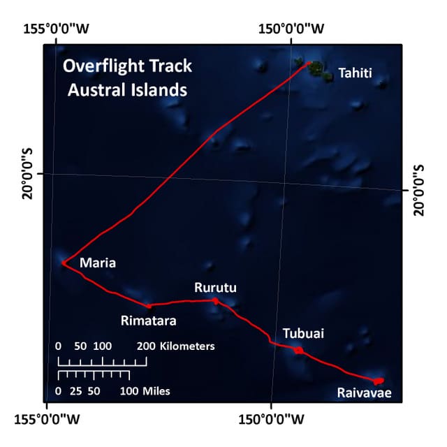
The overflight track for the Austral Islands


Raivavae, with a population of just over 1000 people, has three main villages. These are concentrated near the coast, at the base of Mt. Hiro, a 437 m tall extinct volcano. The island is surrounded by a very large and shallow lagoon with a shallow passage to the open ocean on the northern end.
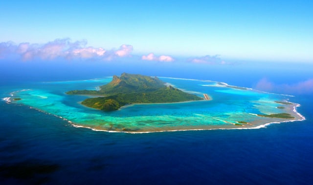
The high island of Raivavae


Rimatara, also with 3 main villages and about 950 inhabitants, consists of a small, fertile nearly circular volcanic plateau. The plateau is covered in dense forest vegetation and is surrounded by an 8-10 m tall, uplifted fringing reef. The tallest point (Mt. Uahu) rises from the coast to about 106 m.

Tubuai, the administrative capital of the Austral Islands, has the largest population in the Australs (approx. 2050), with most residing in one main village. Tubuai is an extinct volcano with two volcanic domes. The domes form a group of mountains demarcated by faults (a “massif”), culminating in a 422 m high peak (Mt. Taita). The east coast is an uplifted coral reef adjacent to a circular lagoon and white sand beaches.
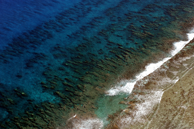
The fore reef off the coast of Tubuai


Rurutu is most different from the other Austral islands in the archipelago.   Its structure is formed by an ancient coral reef that was uplifted (known locally as a makatea), to create sheer, karst-eroded limestone cliffs.  These karstic cliffs are pock-marked with giant stalactite and stalagmite-filled caverns, caves and grottoes.  The larger caves found here once supported ancient settlements, and their remains can be seen through numerous burial grounds, ancient marae (sacred places) and numerous artifacts and treasures. The island is fringed by a continuous coral reef, so there’s no lagoon. There are, however, lots of bright white coral sand beaches. The highest point, Mt. Maureva, rises to an elevation of 398 meters.  Approximately 2015 people inhabit three main villages.
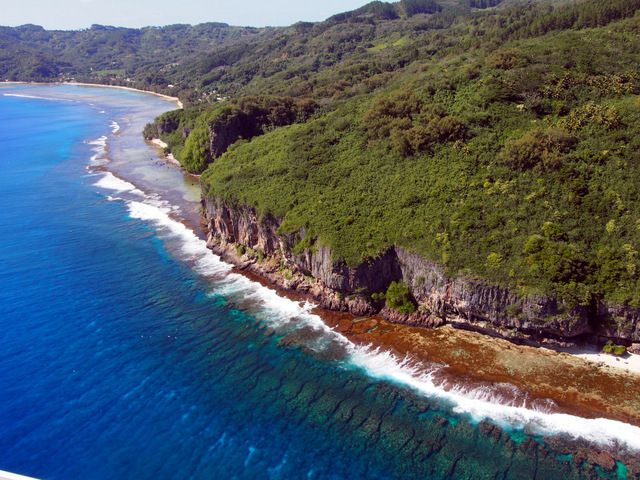
Fringing reef directly off the coast from uplifted fossil reefs in Rurutu


Maria is a small atoll with four densely forested islets and a very shallow lagoon. It is uninhabited. Once, long ago, Maria supported a penal colony.

The low island of Maria


The high islands are well known for their traditional art of weaving of coconut and pandanu leaves into hats, purses, mats and baskets. The fertile soil supports a wide variety of crops including potatoes, taro, coffee, vanilla and bananas, as well as coconut palms.  The largest and most productive giant clam fishery in French Polynesia is located in the Austral Islands.

As we complete our aerial surveys of the Austral Islands, the M/Y Golden Shadow is en route to Raivavae, where we begin our coral assessments.

(Photos by Andrew Bruckner)

To follow along and see more photos, please visit us on Facebook!  You can also follow the expedition on our Global Reef Expedition page, where there is more information about our research and team members.
Related Posts

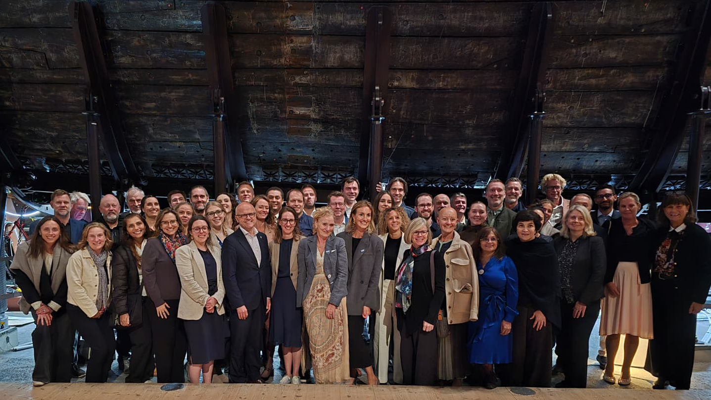
From Dialogue to Action: Ocean Foundations Gather in Stockholm

What can philanthropy accomplish when foundations working across ocean science, conservation, and sustainable development come together around a shared purpose?

That question was at the heart of the 6th UN Ocean Decade Foundations Dialogue, held September 7–9 in Stockholm, Sweden. The Khaled bin Sultan Living Oceans Foundation joined philanthropic organizations from around the world for three days of discussion, collaboration, and planning focused on accelerating progress during the second half of the UN Decade of Ocean Science for Sustainable Development.

Facilitated by UNESCO’s Intergovernmental Oceanographic Commission (IOC), the UN Ocean Decade Foundations Dialogue is a growing network of more than 30 philanthropic organizations committed to advancing ocean science, collaboration, and action. Since its creation within the framework of the Ocean Decade, the Dialogue has provided foundations with a space to exchange ideas, develop partnerships, and explore how philanthropy can help advance a healthy and resilient ocean.

Hosted by the Voice of the Ocean Foundation (VOTO), this year’s gathering began with From Depth to Action, an Opening Forum that brought nearly 100 leaders from the Swedish and international ocean community together at…

Read More

Meet IFAN: Helping Bring Navigate with Care to the Next Generation

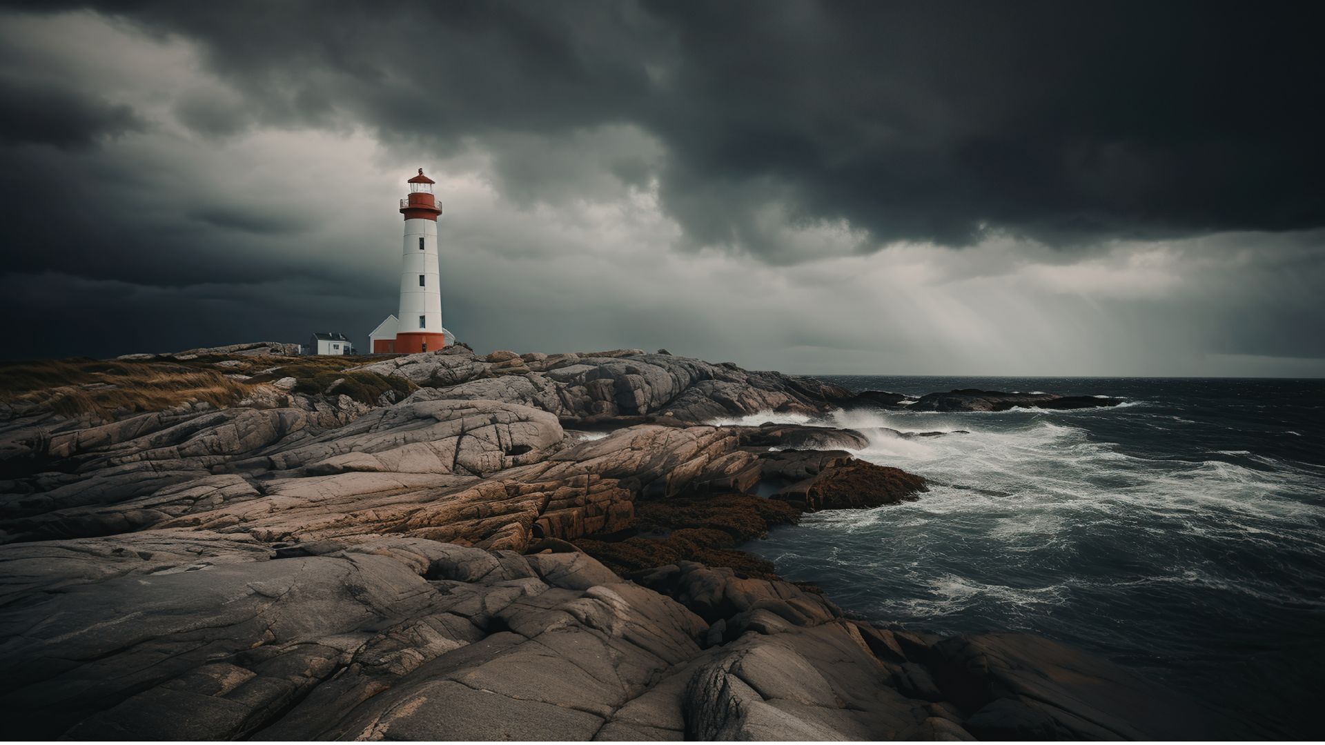
If you’ve ever seen a lighthouse flashing from the shore or a brightly colored buoy bobbing in the water, you’ve seen Aids to Navigation at work.

Aids to Navigation, often called AtoNs, help mariners navigate safely. They can mark channels, warn of hazards, help vessels determine their position, and provide other information people need to make safe decisions on the water. Around the world, these systems help guide everything from small recreational boats to large commercial or container ships. 

But safe navigation isn’t only about protecting vessels and the people aboard them. The choices mariners make can also affect the animals and ecosystems beneath and around them.

That connection between maritime safety and ocean conservation is at the heart of this year’s Science Without Borders® Challenge—and of our partnership with this year’s theme sponsor, the International Foundation for Aids to Navigation (IFAN).

Read More

Privacy Overview

This website uses cookies so that we can provide you with the best user experience possible. Cookie information is stored in your browser and performs functions such as recognising you when you return to our website and helping our team to understand which sections of the website you find most interesting and useful.  You can view our complete Privacy Policy here.

Strictly Necessary Cookies

Most of our cookies are used to improve website security and reduce spam. These cookies should be enabled at all times. They also enable us to save your preferences for cookie settings.

3rd Party Cookies

This website uses Google Analytics to collect anonymous information such as the number of visitors to the site, and the most popular pages. Keeping this cookie enabled helps us to improve our website.