search-icon
Living Oceans Foundation Completes Global Coral Reef Atlas
World Reef Map

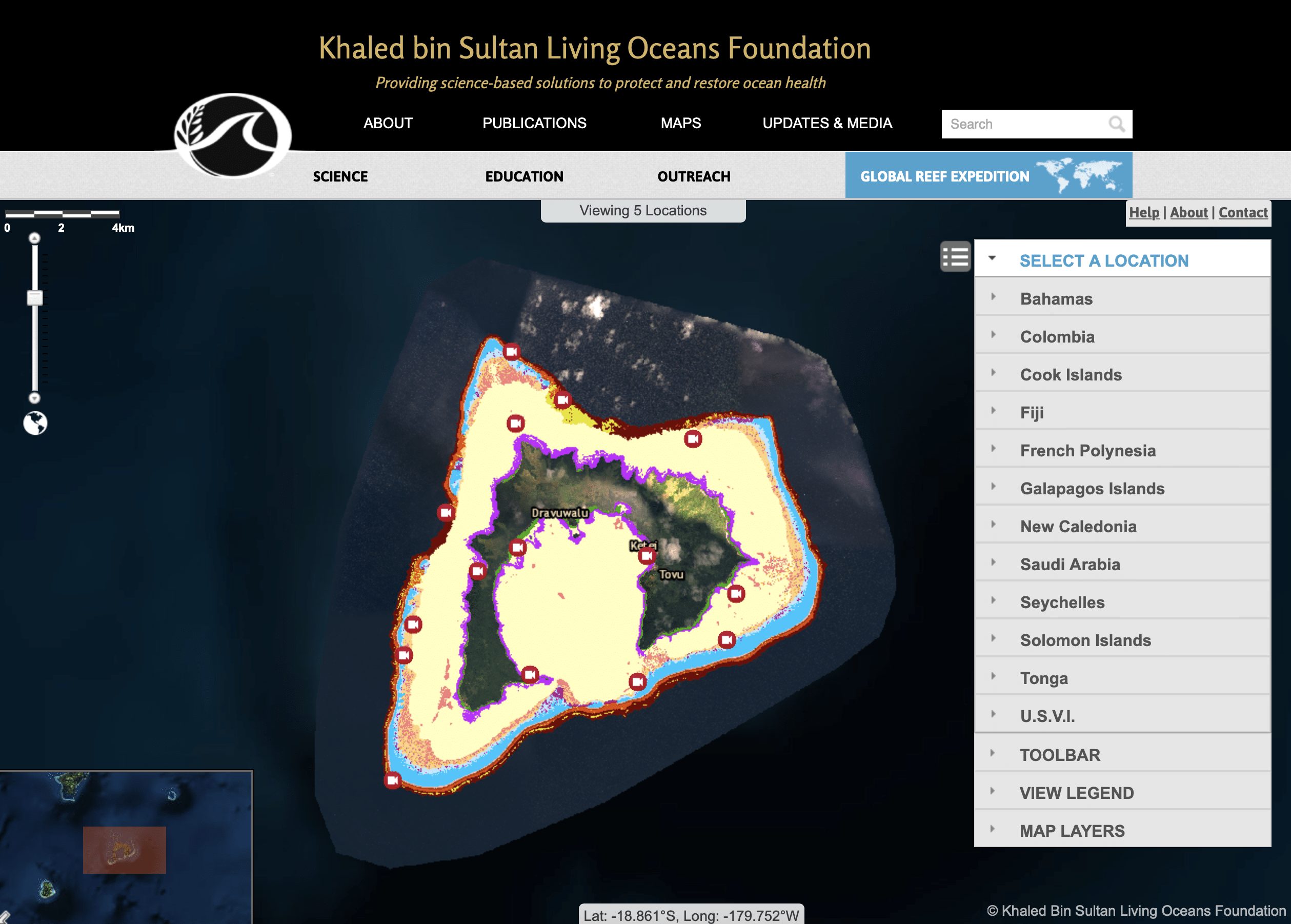
The Khaled bin Sultan Living Oceans Foundation has completed the World Reef Map, an online interactive coral reef atlas that allows users to explore all of the coral reefs and shallow water marine habitats mapped on the Global Reef Expedition. This digital coral reef atlas is the result of years of work by a team of dedicated scientists and many months of field research in coral reef ecosystems around the world. 

Benthic habitat maps are an essential tool in coral reef conservation as they provide a snapshot of where reefs are located and the status of their health. Scientists use these habitat maps as baseline data to help track changes in reef composition and structure over time. The Living Oceans Foundation has made these coral reef habitat maps available to the public in this online platform so that governments and conservation organizations can use them in their own efforts to help protect and conserve coral reefs. 

On the World Reef Map, users will find high-resolution maps of coral reefs and other shallow-water marine ecosystems from 11 countries we visited on the Global Reef Expedition, including Fiji, French Polynesia, The Bahamas, Galapagos Islands, and the Saudi Arabian Red Sea. These extremely detailed maps show the type of habitat on the seafloor down to 1-meter resolution. Different habitat types appear as different colors on the map, so users can identify seagrass beds, sand, rubble, mangrove forests, and different parts of the coral reef. With over 65,000 square kilometers of shallow water marine ecosystems mapped, this is by far the largest collection of high-resolution coral reef maps ever made.

To create the maps, scientists combined satellite imagery with ground-truthed data to verify the accuracy of the maps. Divers surveyed the seafloor, while scientists dropped cameras from boats into the water to see what the habitat was like at various points around an island. Many of these geo-referenced videos appear on the World Reef Map so you can see what the seafloor ecosystem looked like in real life at the time they were surveyed. 

The World Reef Map also includes tools you can use to calculate the habitat distribution around an island, measure the length of a coral reef or the area of a seagrass bed, and identify and learn more about habitat types just by clicking on the map. The World Reef Map also includes very fine bathymetry data so users can know just how deep the ocean is at any given point.

The Khaled bin Sultan Living Oceans Foundation is using these maps in our Global Reef Expedition scientific reports, which provide an assessment of the health of coral reefs in a region and aim to help local stakeholders and government officials better understand and manage their shallow water marine resources. These maps are also being used by our partners at the University of Miami to develop a global coral reef resilience model that will allow us to monitor changes in the health and spatial extent of coral reefs worldwide. 

If you would like access to any of the GIS data underlying our World Reef map in order to help protect, conserve, or restore coral reefs, contact Alexandra Dempsey, Director of Science Management, at [email protected] to submit your data request.
Related Posts

From Dialogue to Action: Ocean Foundations Gather in Stockholm

What can philanthropy accomplish when foundations working across ocean science, conservation, and sustainable development come together around a shared purpose?

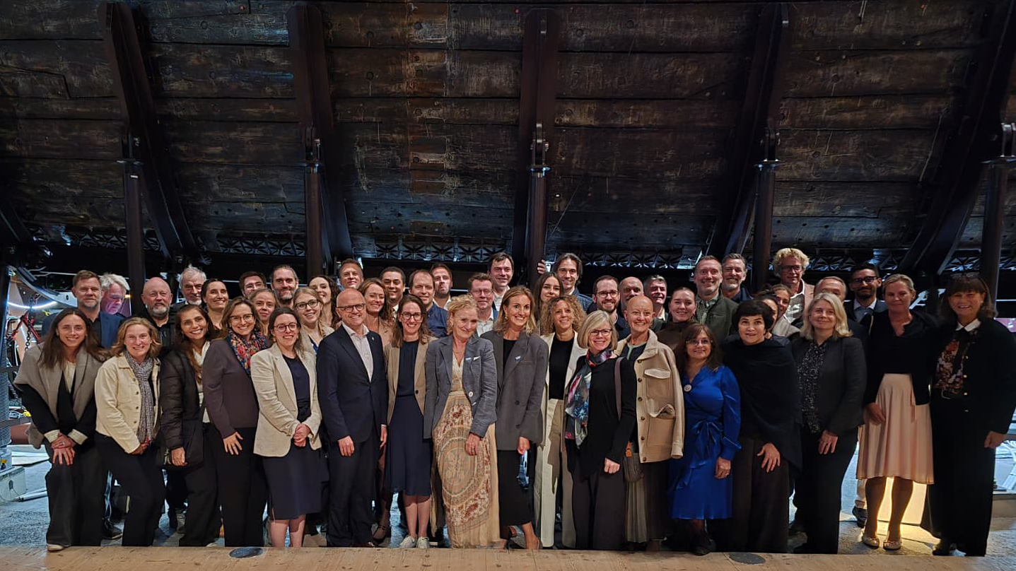
That question was at the heart of the 6th UN Ocean Decade Foundations Dialogue, held September 7–9 in Stockholm, Sweden. The Khaled bin Sultan Living Oceans Foundation joined philanthropic organizations from around the world for three days of discussion, collaboration, and planning focused on accelerating progress during the second half of the UN Decade of Ocean Science for Sustainable Development.

Facilitated by UNESCO’s Intergovernmental Oceanographic Commission (IOC), the UN Ocean Decade Foundations Dialogue is a growing network of more than 30 philanthropic organizations committed to advancing ocean science, collaboration, and action. Since its creation within the framework of the Ocean Decade, the Dialogue has provided foundations with a space to exchange ideas, develop partnerships, and explore how philanthropy can help advance a healthy and resilient ocean.

Hosted by the Voice of the Ocean Foundation (VOTO), this year’s gathering began with From Depth to Action, an Opening Forum that brought nearly 100 leaders from the Swedish and international ocean community together at…

Read More

Meet IFAN: Helping Bring Navigate with Care to the Next Generation

If you’ve ever seen a lighthouse flashing from the shore or a brightly colored buoy bobbing in the water, you’ve seen Aids to Navigation at work.

Aids to Navigation, often called AtoNs, help mariners navigate safely. They can mark channels, warn of hazards, help vessels determine their position, and provide other information people need to make safe decisions on the water. Around the world, these systems help guide everything from small recreational boats to large commercial or container ships. 

But safe navigation isn’t only about protecting vessels and the people aboard them. The choices mariners make can also affect the animals and ecosystems beneath and around them.

That connection between maritime safety and ocean conservation is at the heart of this year’s Science Without Borders® Challenge—and of our partnership with this year’s theme sponsor, the International Foundation for Aids to Navigation (IFAN).

Read More
Privacy Overview

This website uses cookies so that we can provide you with the best user experience possible. Cookie information is stored in your browser and performs functions such as recognising you when you return to our website and helping our team to understand which sections of the website you find most interesting and useful.  You can view our complete Privacy Policy here.

Strictly Necessary Cookies

Most of our cookies are used to improve website security and reduce spam. These cookies should be enabled at all times. They also enable us to save your preferences for cookie settings.

3rd Party Cookies

This website uses Google Analytics to collect anonymous information such as the number of visitors to the site, and the most popular pages. Keeping this cookie enabled helps us to improve our website.