
search-icon
Farasan Islands Benthic Habitat Assessment and Mapping, Farasan Islands Marine Protected Area, May 2006 Preliminary Field Report

Farasan Islands Benthic Habitat Assessment and Mapping – Farasan Islands Marine Protected Area, May 2006 Preliminary Field Report

A collaborative expedition between Khaled bin Sultan Living Oceans Foundation, the National Commission for Wildlife Conservation and Development (NCWCD) and the Regional Organisation for the Conservation of the Environment of the Red Sea and Gulf of Aden (PERSGA) to the Farasan Islands was conducted onboard M.Y. Golden Shadow, 3 – 24 May 2006.

The primary aim of the expedition was to use a CASI (Compact Airborne Spectrographic Imager) sensor onboard a seaplane to conduct large-scale habitat mapping of the marine environment of the Farasan Islands. CASI data was collected from 15 areas, totalling 2,700 km2. In conjunction with in situ ground-truthing and spectral signature data, the maps produced will be the first modern seabed habitat maps of the region and will guide future marine management plans of the Farasan archipelago.

Underwater baseline surveys (benthic and fish-census) were conducted to assess the present state of the reefs of the Farasan Islands. Benthic (seabed dwelling) transects were carried out using the photo-transect technique – a total of 58 photo-transects were conducted during the expedition. The photo-transect data will be analysed to calculate percentage benthic cover and coral diversity at each site. Fish were recorded by species, number and size both along the transect line and away from the transect line in order to record any additional species. 28 fish surveys were conducted during the expedition, and a total of 173 species were recorded.

NCWCD scientists conducted surveys of marine mammals, marine turtles and seagrass. 175 dolphins were sighted in the Farasan Islands protected area. 4 species were observed – common, bottlenose, humpback and spinner dolphin. Eleven islands were surveyed for turtles. Hawksbill turtles were observed nesting on 6 islands and 1 hawksbill turtle was tagged at Kayrah Island. Seagrass was surveyed at four sites. Percentage cover by different seagrass species was estimated and specimens were collected for identification.

Surveys of seabirds were conducted to assess the current status of breeding habitats for seabirds in the Farasan Islands. 45 islands were visited over the three week period and 17 seabird species were recorded.

The expedition embraced the ‘Education and Outreach’ mission of Khaled bin Sultan Living Oceans Foundation by developing a ‘live’ educational web-site. The expedition scientists updated the website daily with a ‘Science Diary’, ‘Fact of the Day’, ‘Vessel Log’ and ‘Questions and Answers’. 580,782 hits to the website were recorded throughout the expedition…
Related Posts

From Dialogue to Action: Ocean Foundations Gather in Stockholm

What can philanthropy accomplish when foundations working across ocean science, conservation, and sustainable development come together around a shared purpose?

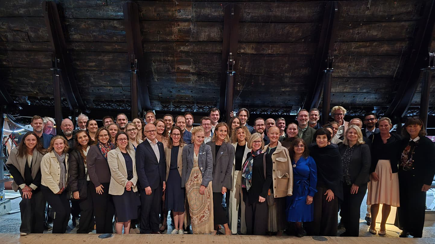
That question was at the heart of the 6th UN Ocean Decade Foundations Dialogue, held September 7–9 in Stockholm, Sweden. The Khaled bin Sultan Living Oceans Foundation joined philanthropic organizations from around the world for three days of discussion, collaboration, and planning focused on accelerating progress during the second half of the UN Decade of Ocean Science for Sustainable Development.

Facilitated by UNESCO’s Intergovernmental Oceanographic Commission (IOC), the UN Ocean Decade Foundations Dialogue is a growing network of more than 30 philanthropic organizations committed to advancing ocean science, collaboration, and action. Since its creation within the framework of the Ocean Decade, the Dialogue has provided foundations with a space to exchange ideas, develop partnerships, and explore how philanthropy can help advance a healthy and resilient ocean.

Hosted by the Voice of the Ocean Foundation (VOTO), this year’s gathering began with From Depth to Action, an Opening Forum that brought nearly 100 leaders from the Swedish and international ocean community together at…

Read More

Meet IFAN: Helping Bring Navigate with Care to the Next Generation

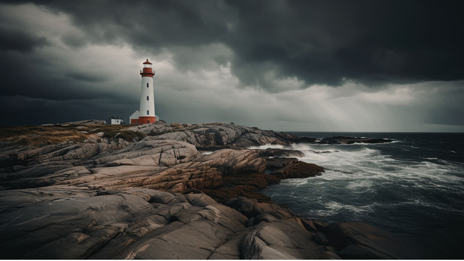
If you’ve ever seen a lighthouse flashing from the shore or a brightly colored buoy bobbing in the water, you’ve seen Aids to Navigation at work.

Aids to Navigation, often called AtoNs, help mariners navigate safely. They can mark channels, warn of hazards, help vessels determine their position, and provide other information people need to make safe decisions on the water. Around the world, these systems help guide everything from small recreational boats to large commercial or container ships. 

But safe navigation isn’t only about protecting vessels and the people aboard them. The choices mariners make can also affect the animals and ecosystems beneath and around them.

That connection between maritime safety and ocean conservation is at the heart of this year’s Science Without Borders® Challenge—and of our partnership with this year’s theme sponsor, the International Foundation for Aids to Navigation (IFAN).

Read More
Privacy Overview

This website uses cookies so that we can provide you with the best user experience possible. Cookie information is stored in your browser and performs functions such as recognising you when you return to our website and helping our team to understand which sections of the website you find most interesting and useful.  You can view our complete Privacy Policy here.

Strictly Necessary Cookies

Most of our cookies are used to improve website security and reduce spam. These cookies should be enabled at all times. They also enable us to save your preferences for cookie settings.

3rd Party Cookies

This website uses Google Analytics to collect anonymous information such as the number of visitors to the site, and the most popular pages. Keeping this cookie enabled helps us to improve our website.