
search-icon
Inaguas, Bahamas and Hogsty Reef Field Report

Between 1 August 2011 and 24 August 2011, the Khaled bin Sultan Living Oceans Foundation conducted a coral reef research mission to Great Inagua, Little Inagua, and Hogsty Reef as part of the Global Reef Expedition. The research included two components: habitat mapping and characterization of coral reef community structure and health. This is the field report resulting from that mission.

Habitat Mapping and Coral Reef Assessments for Hogsty Reef, Little Inagua, and Great Inagua, Bahamas
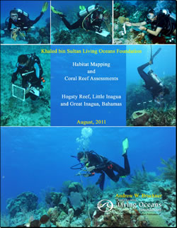
Inaguas, Bahamas and Hogsty Reef Field Report

Khaled bin Sultan Living Oceans Foundation
August 2011
By Andrew W. Bruckner

Research was undertaken by scientists from KSLOF, the National Coral Reef Institute (NCRI), University of Queensland, University of Miami (RSMAS), Atlantic and Gulf Rapid Reef Assessment Program (AGRRA), Florida Aquarium, University of Michigan, the Bahamas Department of Marine Resources (Fisheries), the Bahamas National Trust, the Nature Conservancy, Bahamas, and College of the Bahamas. The research included two components: habitat mapping and characterization of coral reef community structure and health. Habitat mapping involves acquisition of Worldview-2 (WV2) high resolution Satellite Imagery, aerial reconnaissance and photography, and field work to collect “groundtruth” and geophysical data (continuous bathymetry measurements, drop camera videos, sediment sampling, and low frequency sonar profiles of the seafloor’s sub-bottom). Coral reef assessments focused on characterization of:

  1. the benthos, including substrate type and cover of benthic organisms;
  2. coral community structure, population dynamics and health;
  3. fish community structure; and
  4. resilience indicators, with emphasis on herbivory and algal growth studies, coral recruitment, coral diseases, and patterns of coral reef recovery.

A total of 23,407 sq. km of satellite imagery was acquired for the 5 areas. Continuous bathymetry was recorded over a 572km track and 1157 drop camera videos were taken. All groundtruth data were linked to a geographic positioning system (dGPS). The researchers completed 1003 dives, for a total of 842 hours and 52 minutes of bottom time, with surveys conducted to a maximum of 30m depth within 81 sites. In these sites, 665 benthic transects, 291 coral belt transects and 764 fish transect surveys were completed. In addition to the recorded underwater data, hundreds of photographic transects, video and still images of habitats and species were taken. In Great Inagua, Little Inagua and Hogsty Reef, 393 dives were completed within 32 sites, and one Legacy Site was established. A total of 3150 sq. km of imagery was used for habitat mapping. Groundtruthing data included 227km of continuous bathymetry readings and 489 drop camera deployments. Key products include 1) a GIS database containing satellite imagery, high resolution (6m) habitat maps depicting 12-15 marine habitats, bathymetric maps for shallow (0-25m) water, and coral reef data, and 2) a hard copy atlas of shallow marine environments (under production at the date of this report)…
Related Posts

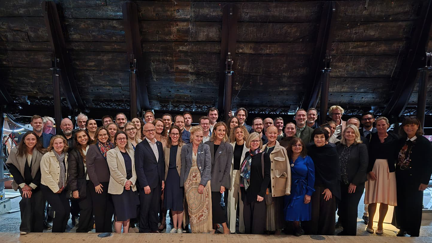
From Dialogue to Action: Ocean Foundations Gather in Stockholm

What can philanthropy accomplish when foundations working across ocean science, conservation, and sustainable development come together around a shared purpose?

That question was at the heart of the 6th UN Ocean Decade Foundations Dialogue, held September 7–9 in Stockholm, Sweden. The Khaled bin Sultan Living Oceans Foundation joined philanthropic organizations from around the world for three days of discussion, collaboration, and planning focused on accelerating progress during the second half of the UN Decade of Ocean Science for Sustainable Development.

Facilitated by UNESCO’s Intergovernmental Oceanographic Commission (IOC), the UN Ocean Decade Foundations Dialogue is a growing network of more than 30 philanthropic organizations committed to advancing ocean science, collaboration, and action. Since its creation within the framework of the Ocean Decade, the Dialogue has provided foundations with a space to exchange ideas, develop partnerships, and explore how philanthropy can help advance a healthy and resilient ocean.

Hosted by the Voice of the Ocean Foundation (VOTO), this year’s gathering began with From Depth to Action, an Opening Forum that brought nearly 100 leaders from the Swedish and international ocean community together at…

Read More

Meet IFAN: Helping Bring Navigate with Care to the Next Generation

If you’ve ever seen a lighthouse flashing from the shore or a brightly colored buoy bobbing in the water, you’ve seen Aids to Navigation at work.

Aids to Navigation, often called AtoNs, help mariners navigate safely. They can mark channels, warn of hazards, help vessels determine their position, and provide other information people need to make safe decisions on the water. Around the world, these systems help guide everything from small recreational boats to large commercial or container ships. 

But safe navigation isn’t only about protecting vessels and the people aboard them. The choices mariners make can also affect the animals and ecosystems beneath and around them.

That connection between maritime safety and ocean conservation is at the heart of this year’s Science Without Borders® Challenge—and of our partnership with this year’s theme sponsor, the International Foundation for Aids to Navigation (IFAN).

Read More
Privacy Overview

This website uses cookies so that we can provide you with the best user experience possible. Cookie information is stored in your browser and performs functions such as recognising you when you return to our website and helping our team to understand which sections of the website you find most interesting and useful.  You can view our complete Privacy Policy here.

Strictly Necessary Cookies

Most of our cookies are used to improve website security and reduce spam. These cookies should be enabled at all times. They also enable us to save your preferences for cookie settings.

3rd Party Cookies

This website uses Google Analytics to collect anonymous information such as the number of visitors to the site, and the most popular pages. Keeping this cookie enabled helps us to improve our website.