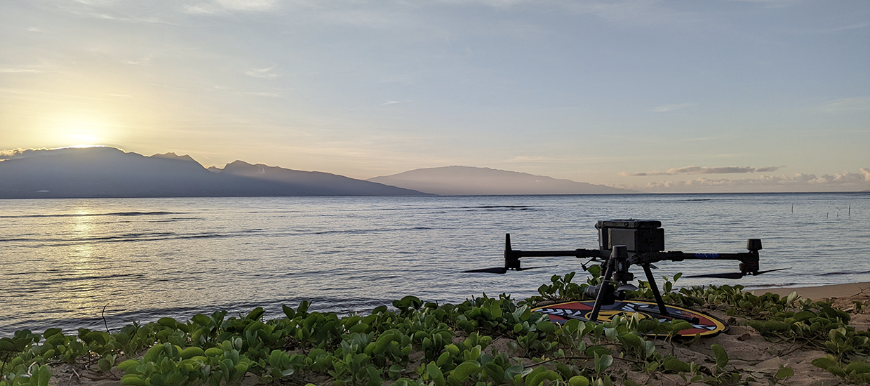
The Foundation’s science team joined the University of Miami’s Rosenstiel School of Marine, Atmospheric, and Earth Science’s Aircraft Center for Earth Studies (ACES) to map the reefs of Lanai, Hawaii. We utilized a new approach to mapping reefs honed by NASA, using drones equipped with fluid lensing sensors, which allowed us to see beneath the waves and map reefs at a centimeter scale.
The foundation’s science team used their expertise in traditional underwater benthic and fish survey methods to verify the accuracy of the airborne surveys. This research mission was supported by a grant from the National Fish and Wildlife Foundation, in partnership with Pulama Lana’i.