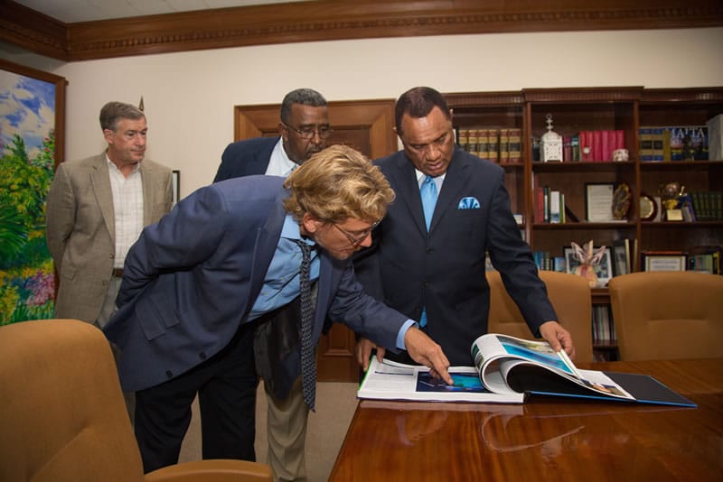
Nassau – The Khaled bin Sultan Living Oceans Foundation, along with the Bahamas National Trust (BNT), recently presented a new Bahamas Underwater Atlas to the Right Honourable Perry Christie, Prime Minister of The Bahamas and the Honourable Khaalis Rolle, Minister of State for Investments. This is first underwater Atlas published from the world’s largest coral reef study, The Global Reef Expedition, that was launched right here in The Bahamas in 2011.
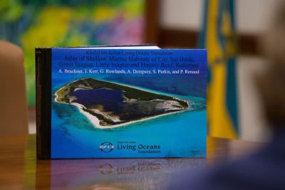
The Atlas of Shallow Marine Habitats of Cay Sal Bank, Great Inagua, Little Inagua and Hogsty Reef, Bahamas is a result of months of underwater research to survey and map the seafloor.
In 2011, scientists and divers from the Khaled bin Sultan Living Oceans Foundation, Bahamas National Trust, the Department of Marine Resources, The Nature Conservancy, the National Coral Reef Institute, and the Atlantic and Gulf Rapid Reef Assessment Program joined forces to complete comprehensive scientific surveys of Bahamian reefs. The research was part of the Foundation’s Global Reef Expedition, a six-year study to map and characterize coral reefs around the world.
The Expedition was launched in The Bahamas. Captain Philip Renaud, Executive Director of the Foundation said, “The Bahamas was the first country to participate in our Global Reef Expedition program and we hold their conservation efforts in high esteem. Our hope is that this atlas will be vigorously used to stimulate new initiatives for the preservation of the amazing water-world of The Bahamas.” He continued, “We’re proud to present our atlas of Cay Sal Bank and the Inaguas to the Government of The Bahamas. The Atlas contains detailed maps and descriptions of the marine environment, so essential to resource management efforts.”
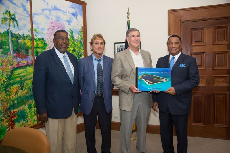
The Living Oceans team met with the Right Honourable Perry Christie, Prime Minister, to present him with a copy of the Atlas, as well as discuss the value of the results of the research to providing governments work and decisions regarding Bahaman coral reefs.
“I am fully supportive of the efforts being made, said Prime Minister Christie. “Because the bottom line is that what we do today will affect what we see 100 years from now, that is why I thank them for helping us advance our knowledge of what exists in our country.”
The Atlas combines advanced satellite imagery, aerial photography, and data from hundreds of research dives into the first-ever high-resolution coral reef ecosystem maps of many of Bahamas reefs. At a reception at The Bahamas National Trust to celebrate the publication of the research Minister of the Environment and Housing, Honourable Kenred Dorsett, BNT President Larry Glinton and BNT Executive Director Eric Carey brought remarks.
The Foundation presented copies of the Atlas to Minister of the Environment, Leader of the Opposition, Dr. Hubert Minnis; Former Minister of the Environment, Honourable Earl Deveaux; CEO of Save The Bays, Vanessa Haley-Benjamin; Executive Director of BREEF, Casuarina McKinney-Lambert; Executive Director of FRIENDS of the Environment, Kristin Williams; and The Nature Conservancy’s Bahamas Country Representative, Shenique Albury-Smith.
“The BNT is proud to have been a part of this remarkable expedition, and especially pleased to have hosted the inaugural leg of this journey,” said Eric Carey, BNT Executive Director. “The data and information that the Expedition has produced, such as this Atlas, will be invaluable to not only the management of national parks and other protected areas, but also in helping The Bahamas better understand the challenges our reefs will face, as a result of impending climate change.”
Learn more about the GRE mission to the Bahamas: