search-icon
Khaled bin Sultan Living Oceans Foundation 2011 Coral Reef Assessment Cay Sal Bank, Bahamas

Khaled bin Sultan Living Oceans Foundation 2011 Coral Reef Assessment Cay Sal Bank Bahamas
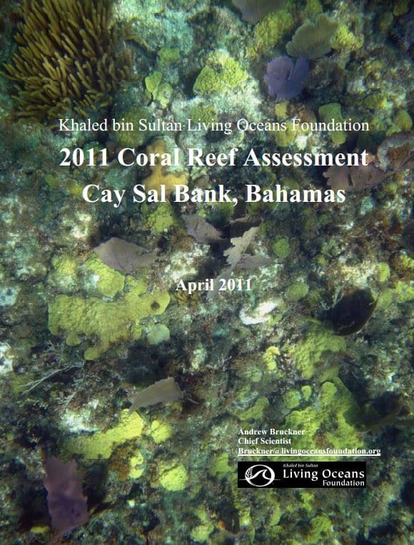
Khaled bin Sultan Living Oceans Foundation Coral Reef Assessment Cay Sal Bank Bahamas 2011

The Bahamas contains three major shallow (<10 m) carbonate platforms or banks, each separated by deep ocean passages, along with a number of smaller emergent land masses. The archipelago encompasses close to 15% of all shallow water coral habitats in the Tropical Western Atlantic and contains more than 700 islands overall. It extends approximately 1600 km from the Little Bahamas Bank in the northwest to Navidad Bank in the southeast, covering an area of approximately 122,000 kmÇ (Trumbull 1988, Banks 1999, Sullivan Sealey and Bustamante 1999). It covers 6 degrees of latitude and 9 degrees of longitude, representing the largest shallow water bank system in the insular Caribbean/Western Atlantic. Marginal habitats such as sand, seagrass, and hard bar dominate the shallow water bank systems, while true, accreting reefs on the bank margin occupy a relatively small area overall.

Cay Sal Bank, the third largest bank in the Bahamas, is an isolated, submerged carbonate platform surrounded by deep water. It lies relatively close to the Florida Keys and Cuba, yet is remote, difficult to access and relatively unimpacted by man. Cay Sal Bank has been referred to as a drowned atoll (Agassiz 1894), although it is of a different geologic origin and is not formed around a submerged volcano. The bank is roughly triangular shape, with a base along the south rim of 105 km, a width of 66 km north-south, and a total area of over 6000 km2 (Goldberg, 1983). Over 99% of the bank is submerged, ranging in depths from 5-16 m. There is a narrow fringe of emergent land that forms a rim around the perimeter, and surrounds a central lagoon. Land masses are comprised of small sandy vegetated islands, rocky outcrops, and lithified sand dunes. Numerous channels are found between the cays; these vary in width and depth but allow tidal exchange between the central lagoon and the oceanic waters of the outer bank margin. The outer margin is rimmed by discontinuous coral reef development.

There have been few previous studies conducted on Cay Sal Bank, The most comprehensive and recent assessment of shallow marine environments of Cay Sal was completed in 1982 (Goldberg 1982). This study combined aerial photography and in water assessments to characterize the distribution and spatial extent of various habitats and the dominant fauna. Of note, Goldberg (1983) highlighted the extensive seagrass bed communities and relatively depauperate and poorly developed reef systems. The current study, carried out by the Khaled bin Sultan Living Oceans Foundation, used Worldview2 multispectral satellite imagery and detailed groundtruthing to characterize and map shallow marine habitats. These efforts were complimented by quantitative transect surveys of coral reef habitats located within the bank and on the outer perimeter of the bank, from 7-25 m depth.
 

Related Posts

Meet IFAN: Helping Bring Navigate with Care to the Next Generation

If you’ve ever seen a lighthouse flashing from the shore or a brightly colored buoy bobbing in the water, you’ve seen Aids to Navigation at work.

Aids to Navigation, often called AtoNs, help mariners navigate safely. They can mark channels, warn of hazards, help vessels determine their position, and provide other information people need to make safe decisions on the water. Around the world, these systems help guide everything from small recreational boats to large commercial or container ships. 

But safe navigation isn’t only about protecting vessels and the people aboard them. The choices mariners make can also affect the animals and ecosystems beneath and around them.

That connection between maritime safety and ocean conservation is at the heart of this year’s Science Without Borders® Challenge—and of our partnership with this year’s theme sponsor, the International Foundation for Aids to Navigation (IFAN).

Read More
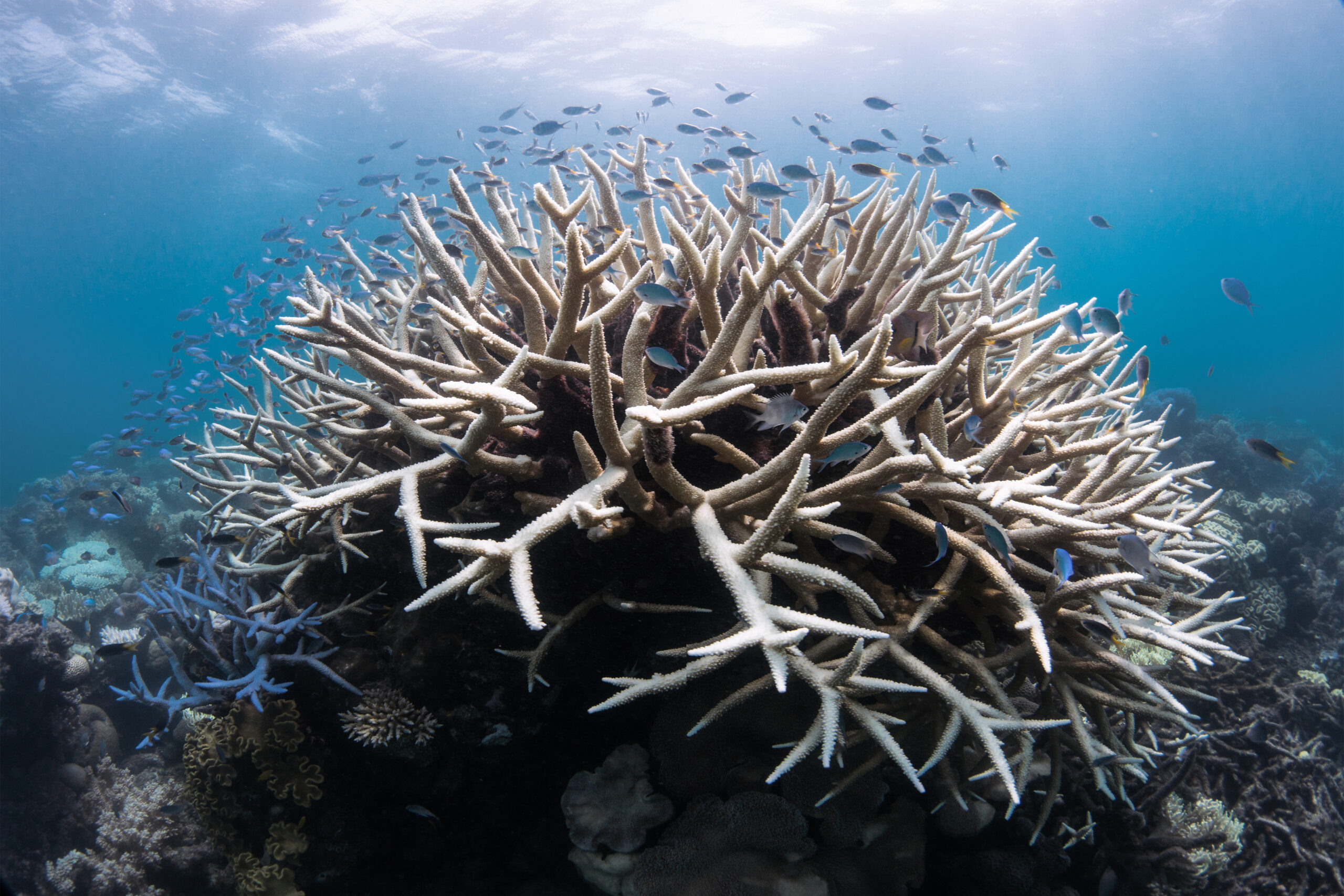
OceanImageBank_TheOceanAgency_Bleaching_16-scaled-1

Coral Bleaching Awareness Month: Giving Coral Reefs a Chance to Recover

For hundreds of millions of years, coral reefs have supported life in our oceans. Although they cover less than 1% of the ocean floor, they provide habitat for at least 25% of all marine species. They also support people around the world by sustaining fisheries and tourism, providing food and livelihoods, and helping protect coastlines from waves and storms.

But coral reefs are under increasing pressure. Pollution, overfishing, coastal development, physical damage, and increasingly warm ocean temperatures can all affect reef health. One of the most visible signs that a coral reef is under stress is coral bleaching.

This September, in recognition of Coral Bleaching Awareness Month, we’re taking a closer look at what happens when corals bleach, why bleaching matters, and what scientists around the world are doing to better understand, protect, and restore coral reefs.

Read More
Privacy Overview

This website uses cookies so that we can provide you with the best user experience possible. Cookie information is stored in your browser and performs functions such as recognising you when you return to our website and helping our team to understand which sections of the website you find most interesting and useful.  You can view our complete Privacy Policy here.

Strictly Necessary Cookies

Most of our cookies are used to improve website security and reduce spam. These cookies should be enabled at all times. They also enable us to save your preferences for cookie settings.

3rd Party Cookies

This website uses Google Analytics to collect anonymous information such as the number of visitors to the site, and the most popular pages. Keeping this cookie enabled helps us to improve our website.