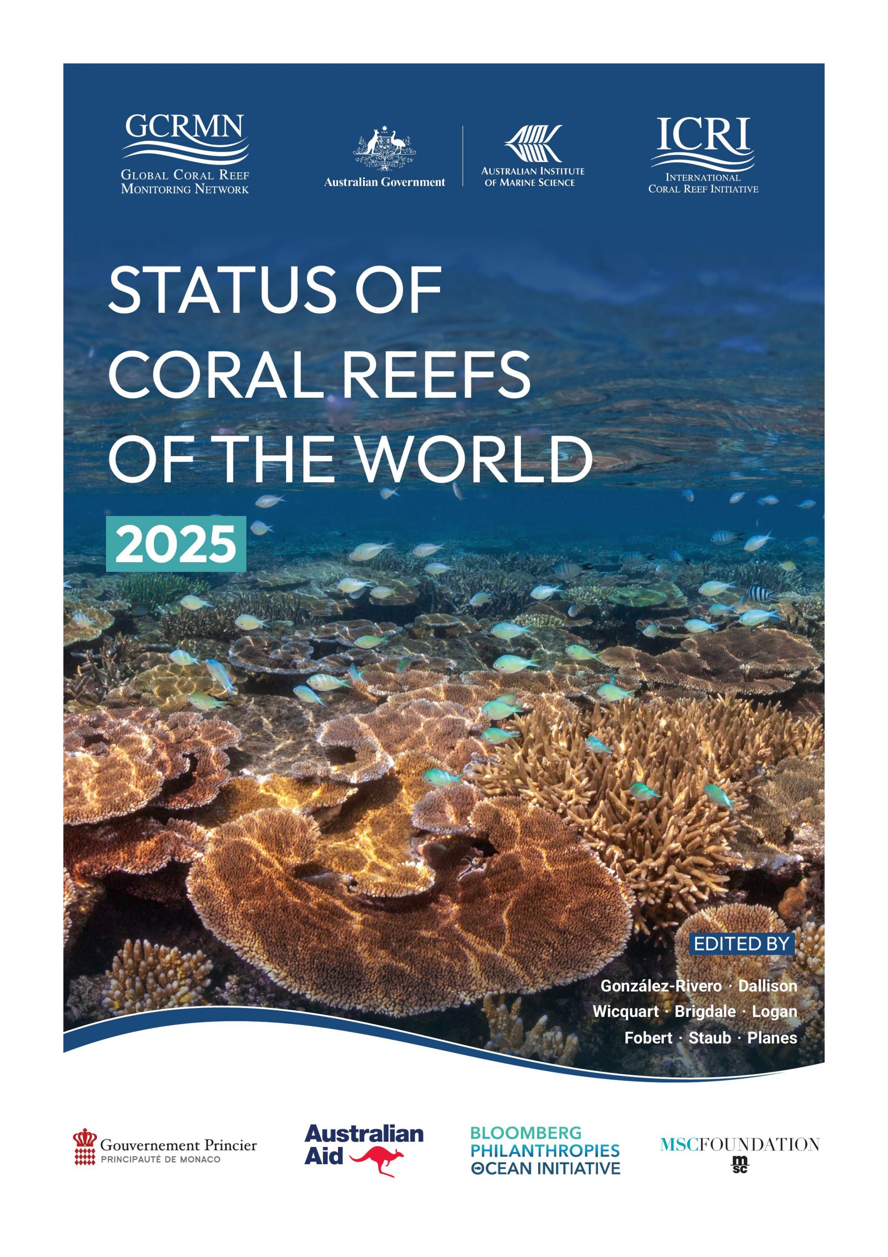
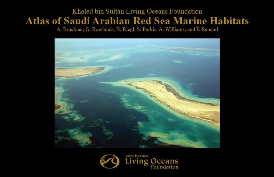
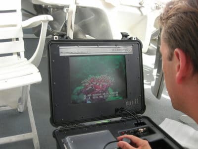
In 2005 the Foundation first started mapping offshore reefs in the Saudi Arabian Red Sea. We’ve been working for years to collect data about the shape, structure, and species that make up these reefs and transforming it into detailed reef maps. We’re thrilled that this year we finally published the first-ever atlas of these Red Sea reefs.
We’ve been doing this because understanding the quality and distribution of coral reefs is the starting point for their conservation. Our research in the Red Sea has revealed that these reefs are among the most complex in the world.
The Red Sea Atlas
We describe and show hundreds of beautiful coral reefs in the Red Sea Atlas. The comprehensive color maps reveal how underwater habitats fit together like jigsaw pieces to form each coral reef. And, a detailed key shows readers what each of these pieces are, for example things like sand, sea grass, live coral, mangrove, and rubble to name just a few.
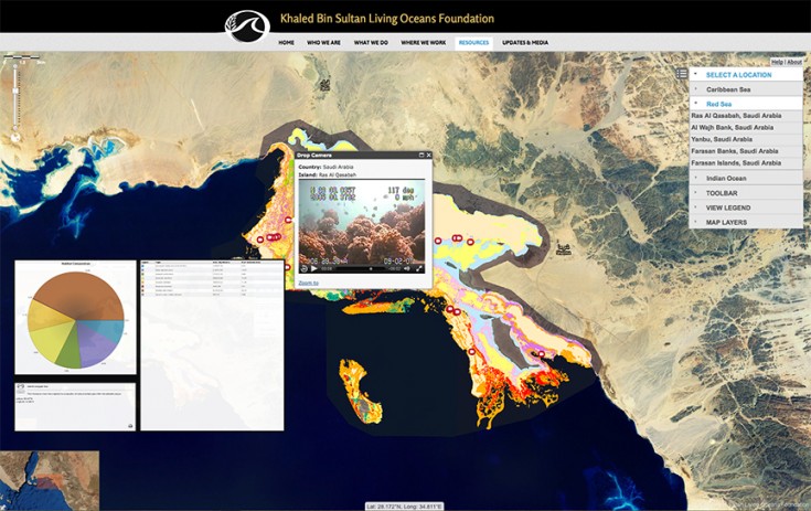
Though the atlas is hundreds of pages long, it is really only a summary of our mapping effort in the Red Sea. The entire scope of these maps is now housed digitally, within a geographic information system (GIS). You can see and explore a simple version of this GIS here, take a look at the variety of different map layers, extract and create figures, and find out the exact composition of any area on the reef.
We have distributed the Saudi Arabian coral reef maps to a number of management entities to aid both their decision making and any future scientific studies they may want to complete. Within the GIS, a user can combine habitat maps with other data layers to understand the vulnerability and resilience of different coral reefs. For example, by mapping sea surface temperature it is possible to understand which coral reefs are exposed to high temperatures most often. Higher than normal ocean temperatures can stress coral reefs and sometimes cause coral bleaching.
Similarly, we can map aspects of human use in the marine environment. For example, it is useful to map the areas commonly targeted by fishermen, or sites along the coast with high levels of development. We can understand potential sources of pollution by mapping locations of marine outflows, or the routes taken by commercial shipping. These are all things that can threaten the health of a coral reef if they are not managed properly.
Maps and the GIS help us to understand the value, distribution, and number of coral reefs in different parts of the Saudi Arabian Red Sea, and place them in the context of human use. We can then target management actions such as the designation of marine protected areas or the instigation of marine monitoring programs to the most deserving reefs. We are working hard with government and non-government agencies in Saudi Arabia, to ensure that scientific knowledge such as contained within our atlas are used to drive real conservation solutions.