The Khaled bin Sultan Living Oceans Foundation (KSLOF) would like to congratulate our science team for having one of the most popular papers in the prestigious journal, Coral Reefs. Last week the journal announced that our coral reef mapping paper, High-resolution habitat and bathymetry maps for 65,000 sq. km of Earth’s remotest coral reefs, was one of the top three most accessed articles published in the past 12 months.
“After spending five years surveying and mapping some of most remote coral reefs in the world on the Global Reef Expedition, it is heartening to see our years of hard work getting the attention it deserves in the scientific community,” said Alexandra Dempsey, KSLOF’s Director of Science Management and a co-author of the paper.
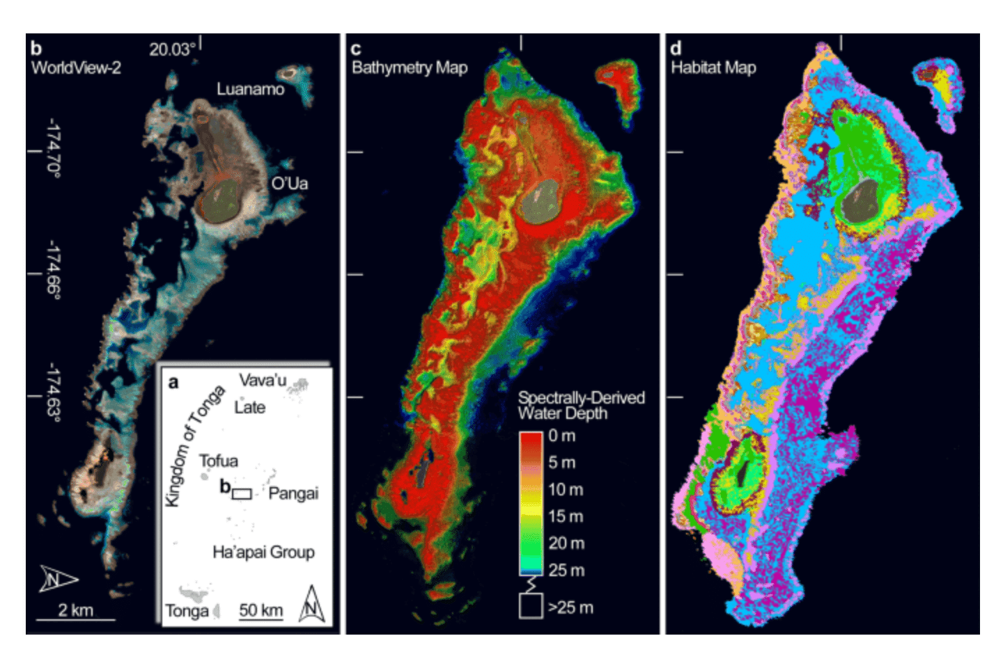
Our paper in Coral Reefs showed how we created high-resolution maps of coral reefs on the Global Reef Expedition using a combination of satellite data and field observations.
To develop a new model to map coral reefs and other tropical shallow-water marine habitats accurately, scientists took field data collected on the Global Reef Expedition and extrapolated that information across the entire reef using ultra-high-resolution satellite imagery. This allowed the scientists to create detailed habitat and bathymetric maps down to a 1-square-meter scale without having to conduct underwater SCUBA surveys of the entire reef. By comparing the maps with video footage from cameras dropped at precise coordinates along the reef, the scientists were able to verify the accuracy of their new mapping method.
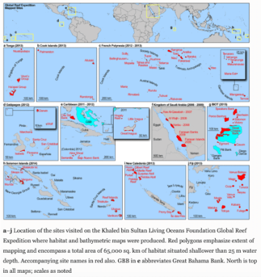
In the process of making these maps, we assembled the largest collection of high-resolution satellite and aircraft images of coral reefs ever made. In total, we mapped an area covering over 65,000 square kilometers, including reefs in Tonga, the Cook Islands, French Polynesia, the Galapagos, Caribbean, the Saudi Arabian Red Sea, the British Indian Ocean Territory, the Solomon Islands, New Caledonia, and Fiji.
These maps contain detailed information on the location of coral reefs, mangrove forests, and seagrass beds. This type of information can be useful to marine managers as they set aside areas for conservation and help scientists track changes to coastal marine ecosystems.
“In order to conserve something, it’s imperative to know where it is located and how much of it you have,” said Sam Purkis, Chief Scientist at the Living Oceans Foundation and Professor and Chair of the Department of Marine Geosciences at the Rosenstiel School of Marine and Atmospheric Science. “Developing such an understanding for coral reefs is especially challenging because they are submerged underwater and therefore obscured from casual view. With this study, we demonstrate the potential to use satellite images to make coral reef maps at a global scale.”
Now that we have shown this mapping method works, we are using the maps and associated information collected on the Global Reef Expedition to model coral reef resiliency, starting with the reefs we studied in the South Pacific. This work is being done with our partners at the University of Miami’s Rosenstiel School of Marine and Atmospheric Science, who are helping the foundation realize one of the primary goals of the Global Reef Expedition—to assess the resiliency of coral reefs around the world.
Learn More
Read the paper, High-resolution habitat and bathymetry maps for 65,000 sq. km of Earth’s remotest coral reefs, in Coral Reefs, the journal of the International Coral Reef Society.