
search-icon
Geomorphology: Large-scale carbonate platform development of Cay Sal Bank, Bahamas, and implications for associated reef geomorphology

This paper stems from our field research in the Bahamas conducted at the start of the Global Reef expedition. It discusses  how Cay Sal Bank was formed how and why it differs from the rest of the Bahamas.

The Bahama Archipelago consists of an arcuate chain of carbonate platforms. Average water depths on the platform-tops, such as the Great Bahama Bank (GBB), are typically 10mor less, with coral reef-rimmed margins, thick sediment accumulations, and the frequent occurrence of islands. There are, however, exceptions. For example, Cay Sal Bank (CSB), a little studied detached Bahamian carbonate platform with depths ranging from 30 to 7 m, is only slightly deeper than the GBB, but devoid of islands, lacks platform-margin coral reefs and holds little sediment on the platform-top; the platformis incipiently drowned. CSB is interesting as it is conspicuously larger (6000 sq. km) than other incipiently drowned platforms in the region, such as Serranilla Bank (1100 sq. km) and the Cat Island platform (1500 sq. km). Field and remote sensing data are assembled to provide insight into the sedimentology and geomorphology of the CSB. The influence of ocean climate, regional hydrodynamics, and Holocene flooding history are investigated to understand why platform-margin coral reef growth on CSB has been unable to keep pace with Holocene sea-level rise. A decade of regional sea-surface temperature data for the Bahamas report CSB to be situated in the same ocean climate regime as GBB. Temperature cannot explain the platform’s different morphologies. The Florida Current has been evoked as a possible reason for the immature development of platform-top processes on the CSB, but numeric modeling suggests its influence to be restricted to the deep flanks of the bank. Further, sediment distribution on CSB, including infill patterns of karst depressions, suggest trade winds (easterlies) to drive platform-top hydrodynamics. By assembling a satellite-derived bathymetry map, it can be shown that CSB flooded earlier and at relatively higher rates of Holocene sea-level rise than its neighboring platforms. Flooding history is identified as the most feasible explanation for the atypical morphology of the CSB. By contrasting the present-day morphology of the CSB and the GBB, the work emphasizes how subtle differences in relative sea-level history can influence the growth of platform-margin coral reefs, features that in turn can conspire to set even closely neighboring carbonate platforms on divergent paths with regard to the development of marine landforms. This insight is relevant to interpreting the morphological diversity of carbonate platforms in the modern ocean and in the rock record …
Related Posts

Meet IFAN: Helping Bring Navigate with Care to the Next Generation

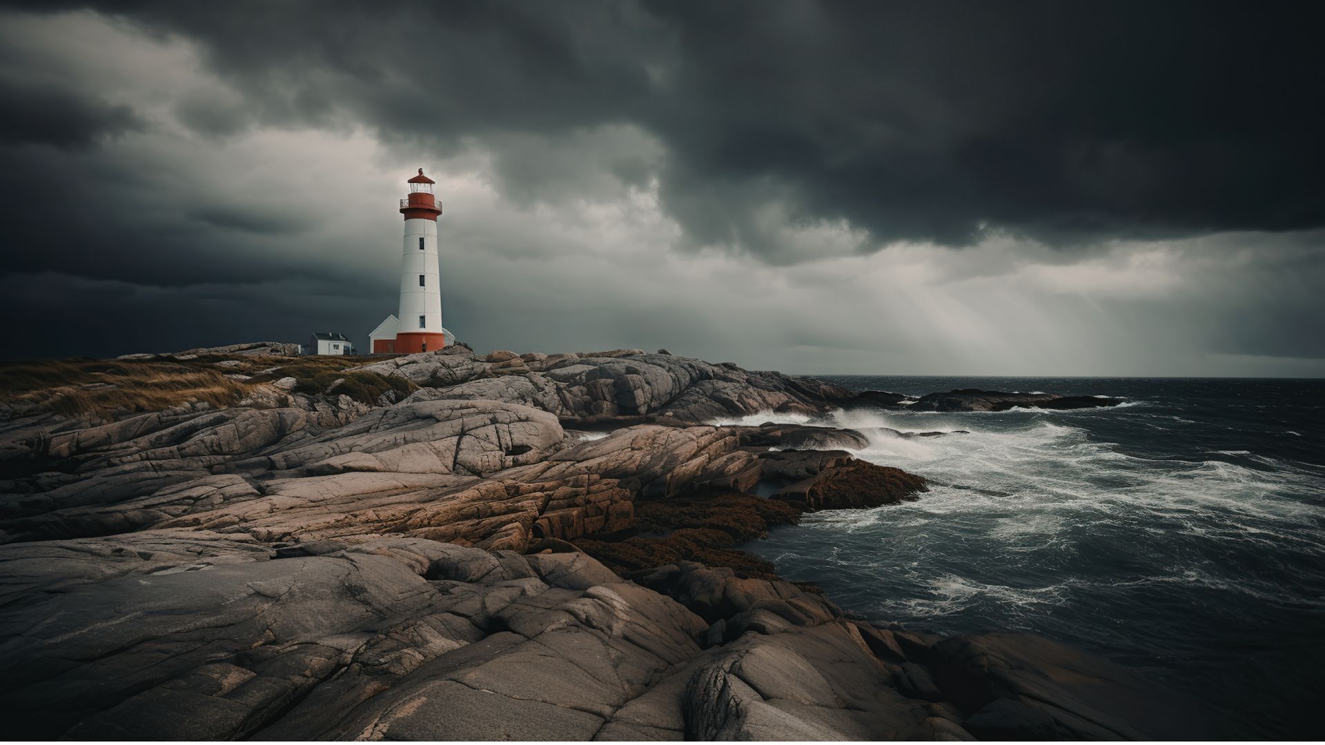
If you’ve ever seen a lighthouse flashing from the shore or a brightly colored buoy bobbing in the water, you’ve seen Aids to Navigation at work.

Aids to Navigation, often called AtoNs, help mariners navigate safely. They can mark channels, warn of hazards, help vessels determine their position, and provide other information people need to make safe decisions on the water. Around the world, these systems help guide everything from small recreational boats to large commercial or container ships. 

But safe navigation isn’t only about protecting vessels and the people aboard them. The choices mariners make can also affect the animals and ecosystems beneath and around them.

That connection between maritime safety and ocean conservation is at the heart of this year’s Science Without Borders® Challenge—and of our partnership with this year’s theme sponsor, the International Foundation for Aids to Navigation (IFAN).

Read More
OceanImageBank_TheOceanAgency_Bleaching_16-scaled-1

Coral Bleaching Awareness Month: Giving Coral Reefs a Chance to Recover

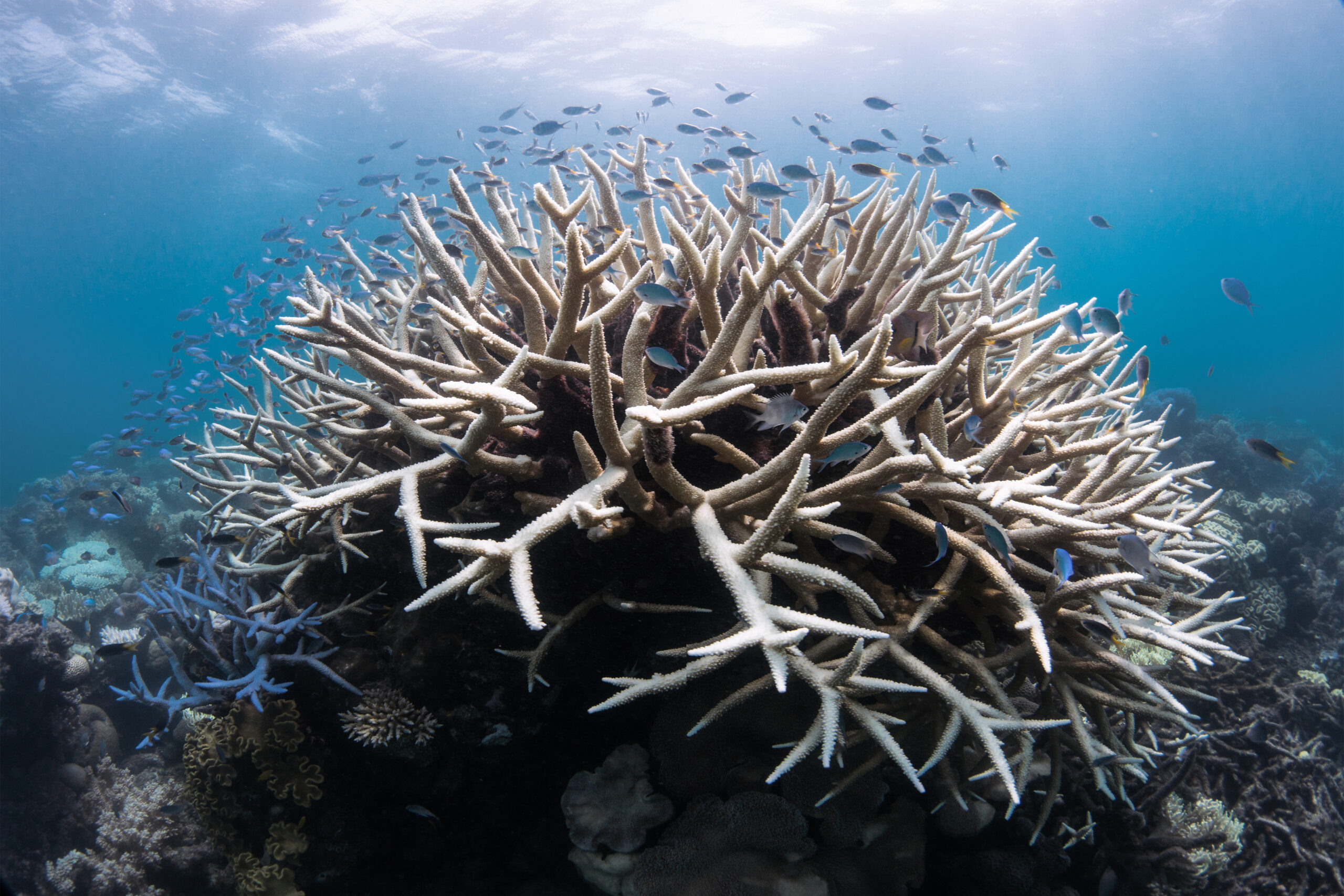
For hundreds of millions of years, coral reefs have supported life in our oceans. Although they cover less than 1% of the ocean floor, they provide habitat for at least 25% of all marine species. They also support people around the world by sustaining fisheries and tourism, providing food and livelihoods, and helping protect coastlines from waves and storms.

But coral reefs are under increasing pressure. Pollution, overfishing, coastal development, physical damage, and increasingly warm ocean temperatures can all affect reef health. One of the most visible signs that a coral reef is under stress is coral bleaching.

This September, in recognition of Coral Bleaching Awareness Month, we’re taking a closer look at what happens when corals bleach, why bleaching matters, and what scientists around the world are doing to better understand, protect, and restore coral reefs.

Read More
Privacy Overview

This website uses cookies so that we can provide you with the best user experience possible. Cookie information is stored in your browser and performs functions such as recognising you when you return to our website and helping our team to understand which sections of the website you find most interesting and useful.  You can view our complete Privacy Policy here.

Strictly Necessary Cookies

Most of our cookies are used to improve website security and reduce spam. These cookies should be enabled at all times. They also enable us to save your preferences for cookie settings.

3rd Party Cookies

This website uses Google Analytics to collect anonymous information such as the number of visitors to the site, and the most popular pages. Keeping this cookie enabled helps us to improve our website.