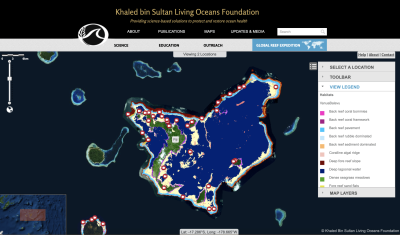
How we used Maxar satellite imagery to create the largest high-resolution maps of coral reefs on Earth
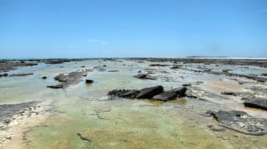
The world has lost over 50 percent of its coral reefs due to climate change and other human pressures in the past 40 years. Few accurate maps of remote coral reefs exist, and without good maps, it is hard to