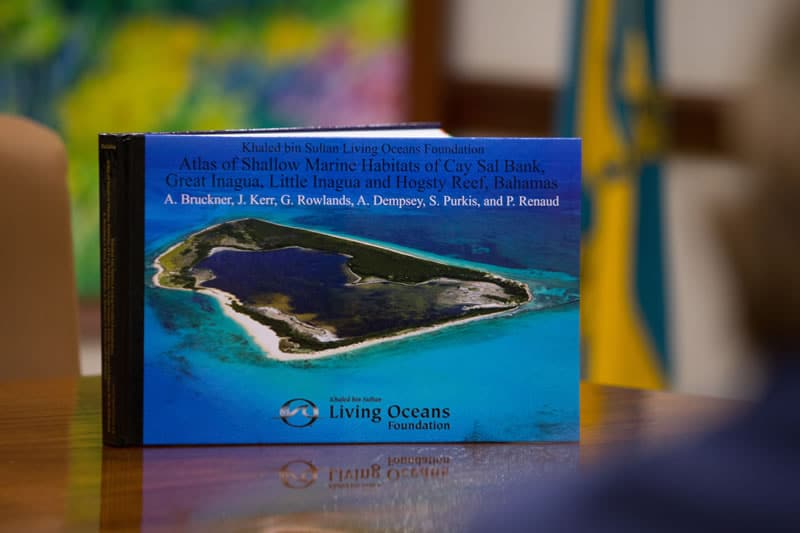
In June 2015, the Foundation, along with the Bahamas National Trust (BNT), presented the Bahamas Underwater Atlas to the Prime Minister of The Bahamas and the Minister of State for Investments. The Atlas was created from comprehensive scientific surveys and maps the Foundation created on the Global Reef Expedition, and was the first to comprehensively map shallow water marine habitats in The Bahamas.

Ten Years of B.A.M.: Rooted in Partnership, Growing in Purpose
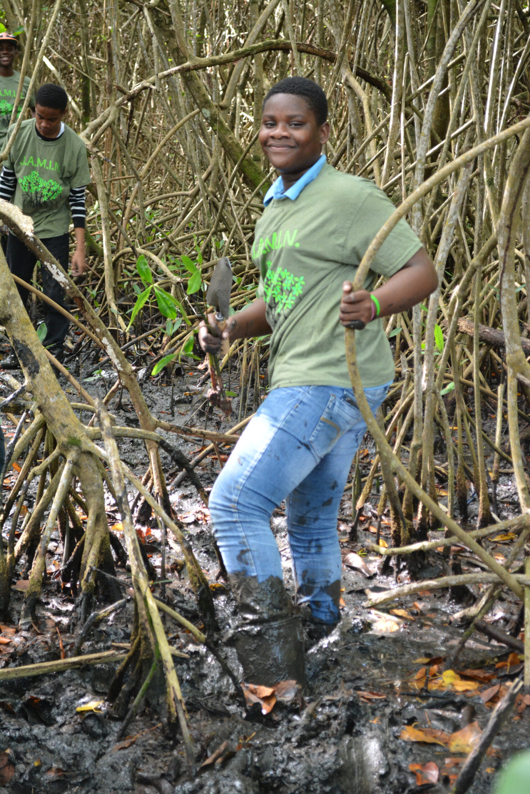
Ten years ago, the Bahamas Awareness of Mangroves (B.A.M.) program began with a simple but meaningful commitment: to connect Bahamian students with the mangrove ecosystems that shape and protect their island home.
Since 2015, B.A.M. has been implemented in partnership with Friends of the Environment, whose dedication to environmental stewardship in Abaco has made this program possible year after year. Together, we have worked alongside Patrick J. Bethel High School and Forest Heights Academy to bring hands-on mangrove science into classrooms and out into the field.
What makes ten years remarkable is not just longevity — it is consistency…