In Nature
By Gemma Conroy
April 14, 2023
Detailed analysis of the January 2022 event shows how underwater blasts generated huge waves that battered coastlines throughout the island nation.
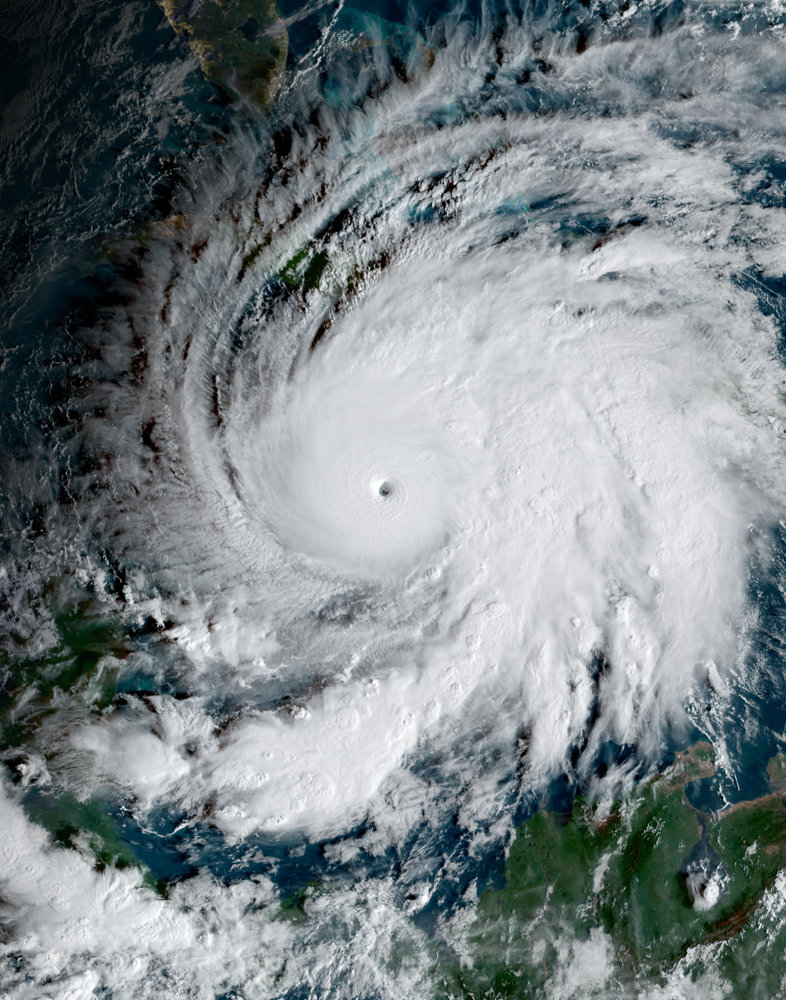
The events following last year’s massive eruption of an underwater volcano in the island nation of Tonga have been reconstructed in a simulation that captures how the resulting tsunami spread throughout the region.
The study, published on 14 April in Science Advances, shows that the blast generated waves that towered more than 40 metres high along some of Tonga’s coastlines, and could offer insights that might help to improve future hazard assessments and disaster preparation.
“The event last year provided the best opportunity for researchers to understand volcanic tsunami behaviours,” says Annie Lau, a coastal geomorphologist at the University of Queensland in Brisbane, Australia.
Underwater explosion
The Hunga Tonga–Hunga Haʻapai volcano in the South Pacific ocean erupted on 15 January 2022, generating shockwaves that resulted in unusually high waves that reached as far away as the Caribbean. Tsunamis triggered in this way are difficult to monitor, because they move faster than those caused by earthquakes or landslides, says Linlin Li, a tsunami scientist at Sun Yat-sen University in Guangzhou, China. “Underwater volcanic explosions are one of the least understood mechanisms for triggering tsunamis.”
To investigate how the tsunami unfolded, researchers built a digital simulation of the event using satellite imagery taken before and after the eruption, together with data collected by drones and other field observations. They mapped 118 sites across 10 islands in Tonga to track the movement of the waves generated by three key blasts from the volcano.
The last of the three blasts generated as much energy as 15 megatonnes of TNT, making it hundreds of times more powerful than the atomic bomb dropped on Hiroshima during World War II.
On the northern side of Hunga Tonga–Hunga Haʻapai, waves surged 85 metres high within one minute of the eruption, while waves on the southern end reached a height of 65 metres.
Some 20 minutes after the explosion, 45-metre-high waves inundated the coastline of Tofua Island, located 90 kilometres north of the volcano. To the south, Tongapatu — the most populated island in Tonga — experienced waves 17 metres high. “This was very much in the league of a ‘megatsunami’,” says study co-author Sam Purkis, a marine geoscientist at the University of Miami in Florida. . Other locations managed to escape the brute force of the tsunami. Waves hitting the east coast of ‘Eua island — roughly 25 kilometres away from Tongatapu — were a relatively modest five metres high on average.
Trapped waves
The vast, shallow reef platforms in the Tonga Archipelago probably shaped the height and flow of the tsunami waves throughout the region. “That’s a blessing and a curse,” says Purkis. These shallow reefs acted as a barrier that dampened some of the larger waves as they charged in from the open ocean. But the reefs also became a trap for waves generated by weaker eruptions that had occurred earlier in the day. As a result, small waves became larger, more unpredictable ones that bounced around Tonga’s islands for more than an hour. “By then, the open ocean was calm, but the waves were trapped,” says Purkis.
The study is “arguably the most comprehensive analysis to date” of a megatsunami, says Matthew Hornbach, a marine geophysicist at Southern Methodist University in Dallas, Texas. He adds that the findings offer surprising insights about how tsunami waves can affect areas that are thought to be better protected. “We believed that the largest waves would be relatively limited in scope [along] coastlines nearest to the eruption,” says Hornbach. “This study demonstrates that these waves have the ability to impact areas we previously believed were lower risk.”