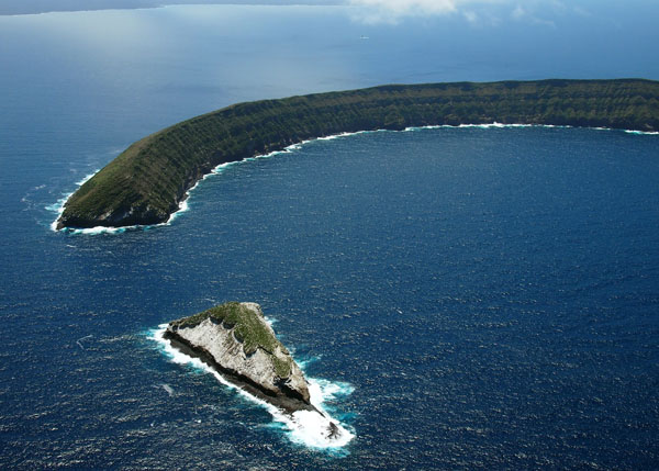
Another day at Isabela Island, with two morning dives at C-shaped island called Tortuga, the remains of yet another in the chain of volcanoes… a partially collapsed volcanic cone (though much bigger than Devil’s Crown). Unfortunately, we found very little coral.
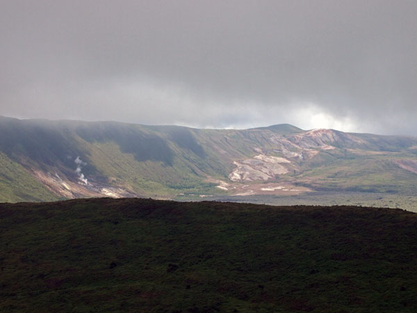
Isabela Island is by far the biggest island in the Galapagos, the highest, and one of the youngest. It’s formed by six volcanoes—Alcedo, Cerro Azul, Darwin, Ecuador, Sierra Negra, and Wolf—that are connected by old lava flows. Five of them are considered active; Cerro Azul and Sierra Negra both erupted within the last seven years. Wolf is the highest point in the archipelago, at 1,707 m.
Like Hawaii, the Galapagos are a hotspot chain of volcanoes, created when molten rock squeezes up through a particular place in a plate on the Earth’s crust. (For Hawaii, it’s the Pacific plate; the Galapagos are on the Nazca plate.) When the magma hits the surface, it forms a volcano. Since the plates are slowly moving, the volcano is carried along too, leaving room for another to form behind it, and so on. The older ones are gradually worn down by weather and the ocean, creating a chain of volcanoes trailing away, both above and eventually below the surface.
The Nazca plate is inching east, so the older islands to the east, such as Española and San Cristóbal, are lower than the newer islands to the west, like Fernandina and Isabela Island. (The Galapagos situation is actually more complicated, since the islands sit near the “Galapagos Triple Junction” where the Nazca, Pacific and Coco plates meet, but the basic idea holds true.) The cool heights of Isabela Island make a good habitat for giant tortoises, which evolved into separate subspecies on five of the six volcanoes. Today the island is home to more wild tortoises than all the other islands put together.
(Photos/Images by Sam Purkis)
To follow along and see more photos, please visit us on Facebook! You can also follow the expedition on our Global Reef Expedition page, where there is more information about our research and team members.

