The Khaled bin Sultan Living Oceans Foundation has launched an updated version of the World Reef Map, making it easier to explore one of the largest collections of ground-truthed coral reef and shallow-water habitat maps ever created.
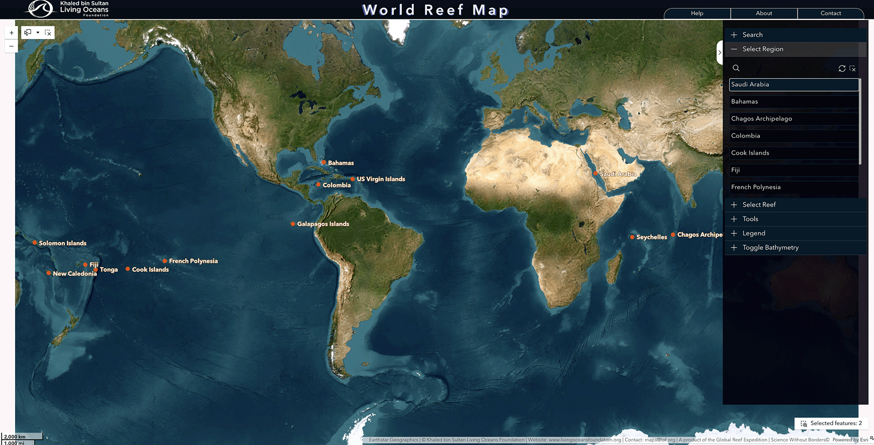
Now hosted on ArcGIS Online, the World Reef Map provides a streamlined way to access and interact with maps developed during our Global Reef Expedition and other research missions. This new platform allows users to explore reef habitats around the world directly in their web browser.
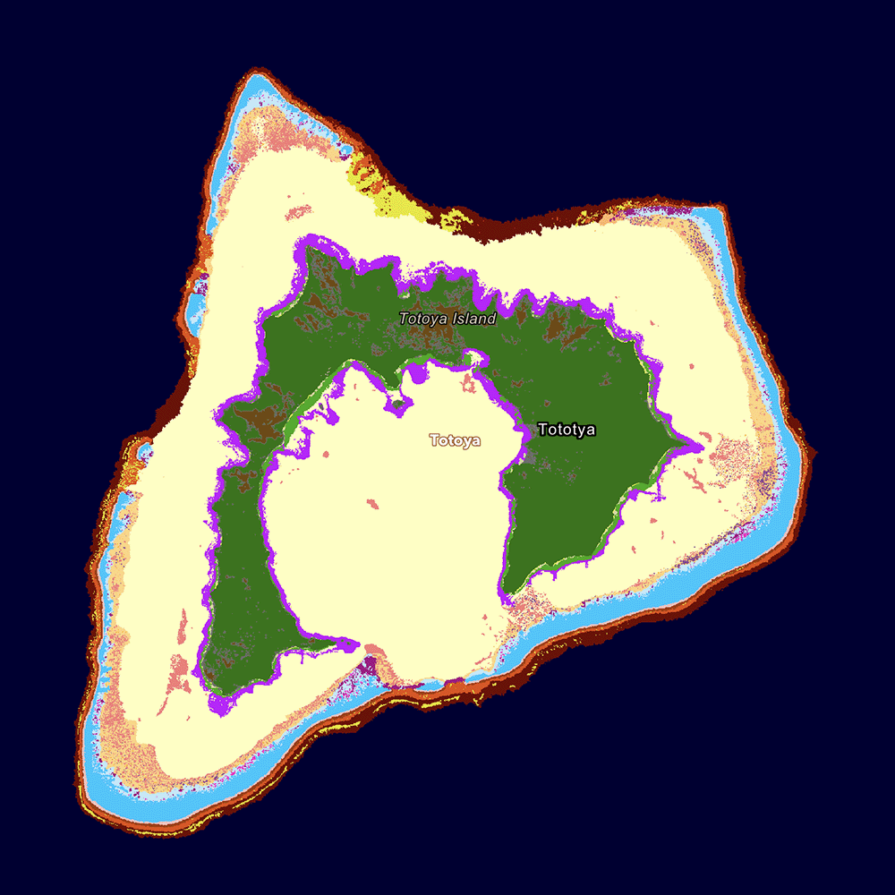
Over the course of the Global Reef Expedition, our scientists surveyed more than 1,000 coral reefs across the Atlantic, Pacific, and Indian Oceans, mapping over 65,000 square kilometers of reef habitat. These efforts resulted in high-resolution maps of coral reefs as well as other shallow-water ecosystems, including seagrass meadows and mangrove forests.
The World Reef Map brings these datasets together into a single, global resource. Users can explore mapped locations in regions such as The Bahamas, Fiji, the Galápagos Islands, Saudi Arabia, and French Polynesia, and examine the distribution of reef habitats within each coastal marine ecosystem.
Created using high-resolution satellite imagery and validated through extensive field surveys, these maps provide a globally consistent baseline of coral reef habitats. They have been used to support scientific research, inform marine spatial planning, and guide conservation efforts around the world.
The updated platform focuses on accessibility and ease of use. Users can search for specific regions or reefs, zoom in to view habitat features, and click on the map to learn more about different habitat types. Built-in tools allow users to measure distances and areas, draw directly on the map, retrieve geographic coordinates, and share or print customized map views.
While the platform has been updated, the data itself reflects years of research and remains a cornerstone of our efforts to better understand and protect coral reef ecosystems.
We invite you to explore the World Reef Map and discover coral reefs and coastal habitats around the globe.
World Reef Map
The World Reef Map is a global coral reef mapping platform developed by the Khaled bin Sultan Living Oceans Foundation, built from data collected during its Global Reef Expedition—one of the largest coral reef survey and mapping efforts in history. Over a decade, Foundation scientists mapped and surveyed more than 1,000 reefs across the Atlantic, Pacific, and Indian Oceans, creating one of the most extensive collections of high-resolution coral reef and shallow-water habitat maps ever produced.