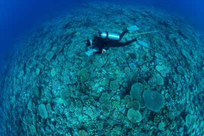
Surveying the Reefs of Lana’i – by Air and by Sea
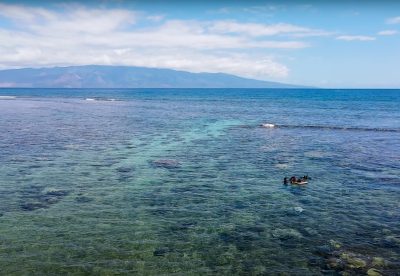
As the sun begins to rise over the island ridges of Lana’i, Hawai’i, the drone lifts off from its landing pad on the beach and begins to fly a grid along the coast, imaging the nearshore coral reefs. The drone