
search-icon
High Tech Reef Reconnaissance

Early on the morning of June 30th, as part of the Living Oceans Foundation’s (LOF) Global Reef Expedition (GRE), a Cessna seaplane named the Golden Eye took off from South Florida’s Opa-Locka Executive Airport bound for the southern Bahamas.  Aboard were Phil Renaud (Executive Director, LOF), Andy Bruckner (Chief Scientist, LOF), and Sam Purkis (National Coral Reef Institute).  The flight was equipped with cutting-edge GPS equipment linked to satellite imagery and high-tech digital cameras.  Their mission: to shoot a series of aerial photographs of the coral reefs of Great and Little Inagua and the small and remote Bahamian atoll, Hogsty reef.

Aerial photographs of Inaguas and Hogsty Reef
Aerial photographs of Inaguas and Hogsty Reef: Breaking waves indicate the shallow areas of the fringing reef


Aerial photographs shot from the Golden Eye prior to an expedition are of great value to the GRE science team.  They provide advanced knowledge of the reefs that will soon be investigated by scientists aboard the Golden Shadow.  The aerial photographs archive is also studied by the captain of the Shadow in his search for ideal anchorages for the ship.  He looks for sites that will put the scientists within striking distance of their study targets while providing shelter in case of bad weather.  In early August, a full science team will arrive in the remote southern Bahamas on the Golden Shadow to study the reefs throughout the month.


Dark blue water indicates a drastic drop into deep water, known as an underwater wall


Southeast Cay is surrounded by coral formations that are a part of Hogsty Reef


Over 500 aerial photographs were taken on the daylong overflight mission from several altitudes.  The team assessed the locations of the richest reefs in the Inaguas, and while flying past at low levels they investigated the outlying Hogsty Reef and its shallow lagoon.  Near Hogsty Reef the team also noted a pronounced and sheltered pass that can be used as an anchorage for the LOF research vessel, Golden Shadow.  Following a late evening landing back at Opa-Locka Airport, the images were downloaded and archived in preparation for the coming expedition.


Shipwreck of the SS Richmond P. Hobson on the northern side of Hogsty Reef


Written by Dr. Sam Purkis

(Photo/Images by: 1 Dr. Sam Purkis; 2-4 CAPT Philip Renaud; 5 Dr. Andrew Bruckner)

To follow along and see more photos, please visit us on Facebook! You can also follow the expedition on our Global Reef Expedition page, where there is more information about our research and our team members.
Related Posts

From Dialogue to Action: Ocean Foundations Gather in Stockholm

What can philanthropy accomplish when foundations working across ocean science, conservation, and sustainable development come together around a shared purpose?

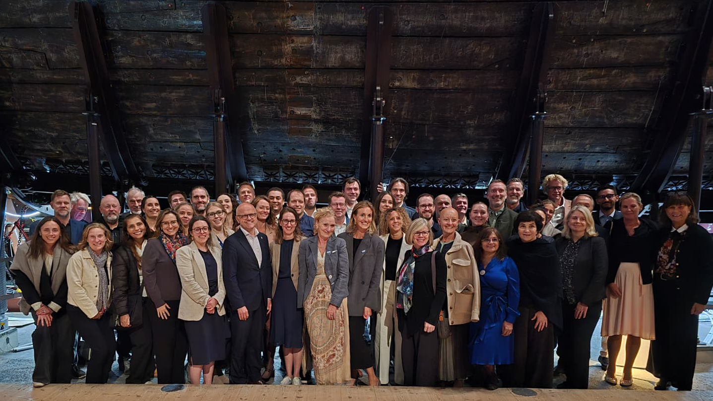
That question was at the heart of the 6th UN Ocean Decade Foundations Dialogue, held September 7–9 in Stockholm, Sweden. The Khaled bin Sultan Living Oceans Foundation joined philanthropic organizations from around the world for three days of discussion, collaboration, and planning focused on accelerating progress during the second half of the UN Decade of Ocean Science for Sustainable Development.

Facilitated by UNESCO’s Intergovernmental Oceanographic Commission (IOC), the UN Ocean Decade Foundations Dialogue is a growing network of more than 30 philanthropic organizations committed to advancing ocean science, collaboration, and action. Since its creation within the framework of the Ocean Decade, the Dialogue has provided foundations with a space to exchange ideas, develop partnerships, and explore how philanthropy can help advance a healthy and resilient ocean.

Hosted by the Voice of the Ocean Foundation (VOTO), this year’s gathering began with From Depth to Action, an Opening Forum that brought nearly 100 leaders from the Swedish and international ocean community together at…

Read More

Meet IFAN: Helping Bring Navigate with Care to the Next Generation

If you’ve ever seen a lighthouse flashing from the shore or a brightly colored buoy bobbing in the water, you’ve seen Aids to Navigation at work.

Aids to Navigation, often called AtoNs, help mariners navigate safely. They can mark channels, warn of hazards, help vessels determine their position, and provide other information people need to make safe decisions on the water. Around the world, these systems help guide everything from small recreational boats to large commercial or container ships. 

But safe navigation isn’t only about protecting vessels and the people aboard them. The choices mariners make can also affect the animals and ecosystems beneath and around them.

That connection between maritime safety and ocean conservation is at the heart of this year’s Science Without Borders® Challenge—and of our partnership with this year’s theme sponsor, the International Foundation for Aids to Navigation (IFAN).

Read More
Privacy Overview

This website uses cookies so that we can provide you with the best user experience possible. Cookie information is stored in your browser and performs functions such as recognising you when you return to our website and helping our team to understand which sections of the website you find most interesting and useful.  You can view our complete Privacy Policy here.

Strictly Necessary Cookies

Most of our cookies are used to improve website security and reduce spam. These cookies should be enabled at all times. They also enable us to save your preferences for cookie settings.

3rd Party Cookies

This website uses Google Analytics to collect anonymous information such as the number of visitors to the site, and the most popular pages. Keeping this cookie enabled helps us to improve our website.