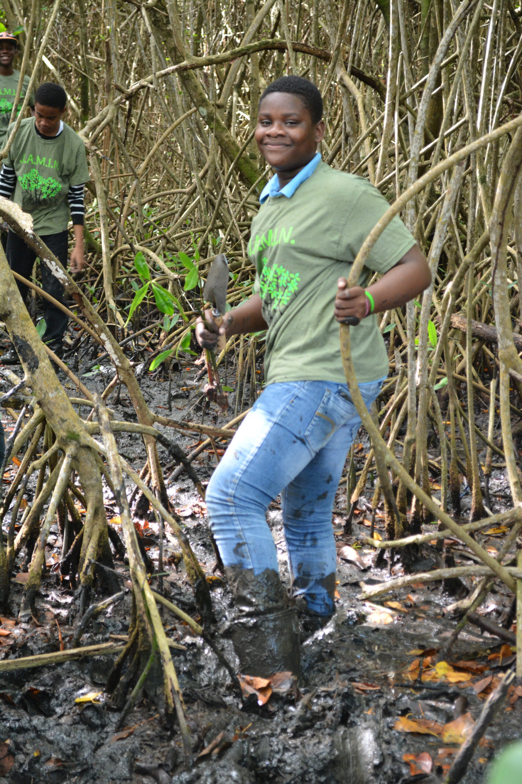
In 2005, the Living Oceans Foundation traveled to the Seychelles, a 115-island archipelago in the Indian Ocean, to study the impact of an El Nino Southern Oscillation (ENSO) ocean warming event on their coral reefs. The Atlas of the Amirantes contains high-resolution benthic habitat maps that were created from this research project for the purpose of aiding the Seychelles government in marine conservation efforts and management plans, the result of months of underwater research to survey and map the seafloor.
Preface of the Atlas of the Amirantes
This collection of habitat maps of the coral islands, reefs and shoals of the Amirantes Archipelago, Western Indian Ocean, is the result of a collaborative research project between Khaled bin Sultan Living Oceans Foundation, Cambridge Coastal Research Unit and Unit for Landscape Modelling, University of Cambridge and Seychelles Centre for Marine Research and Technology – Marine Parks Authority. The project was centred around a research cruise to the southern Seychelles which utilised M.Y. Golden Shadow, kindly loaned by Prince Khaled bin Sultan to the Living Oceans Foundation for use during the expedition, 10–28 January 2005.
The Republic of Seychelles (5o-10oS; 45o-56oE) comprises 42 granitic islands and 74 coralline islands. The total land area of 455 km2 lies within an Exclusive Economic Zone (EEZ) of 1,374,000 km2. The Amirantes Group comprises a total of 24 islands and islets (including the atolls of St. Joseph and Poivre), stretching ~155 km from 4o53’S (African Banks) to 6o14’S (Desnoeufs). The atoll of Desroches lies to the east of the main Amirantes Ridge and 95 km further south are the atolls of Alphonse and St. François which form, with Bijoutier, the Alphonse Group. 13 of the 14 islands were mapped, the exception being Desroches. However, in the interests of completeness, we have generated a habitat map based on Landsat imagery for this locality.
The area selected for survey was large and thus not amenable to detailed ground mapping over a relatively short field visit. However, the sites were ideally suited to extensive, high resolution airborne mapping. This was achieved using a CASI (Compact Airborne Spectrographic Imager) sensor onboard the seaplane Golden Eye. As a secondary goal, the terrestrial vegetation was also mapped, although the choice of CASI bands (targeted for marine work) was such that the reliability of the terrestrial mapping is lower than that of the marine work. Whilst the Golden Eye collected aerial imagery, scientific personnel onboard M.Y. Golden Shadow were involved in an extensive exercise collecting ground-reference data. Both marine and terrestrial environments were sampled using a variety of techniques, including visual observations, photographs and video transects. Full details on the remote sensing techniques and field survey methods used can be found later in this Atlas (see below and Appendix 1).
It is hoped that the information contained herein will be incorporated into marine ecosystem management plans in the Republic of Seychelles, providing guidance to decision makers on the level, and prioritisation of, conservation and management required at particular sites. In addition, these maps will form a baseline against which to assess the impacts of near-future global environmental change in this area.
It is important, however, to treat these maps as living documents. We hope that they will be taken into the field whenever the opportunity arises and checked against what is seen and recorded on the ground. The authors will be delighted to incorporate new and revised information into the ongoing revision of the maps contained in this Atlas.