Between 1 August 2011 and 24 August 2011, the Khaled bin Sultan Living Oceans Foundation conducted a coral reef research mission to Great Inagua, Little Inagua, and Hogsty Reef as part of the Global Reef Expedition. The research included two components: habitat mapping and characterization of coral reef community structure and health. This is the field report resulting from that mission.
Habitat Mapping and Coral Reef Assessments for Hogsty Reef, Little Inagua, and Great Inagua, Bahamas
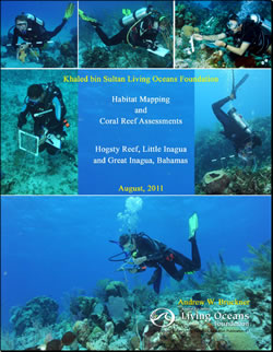
Khaled bin Sultan Living Oceans Foundation
August 2011
By Andrew W. Bruckner
Research was undertaken by scientists from KSLOF, the National Coral Reef Institute (NCRI), University of Queensland, University of Miami (RSMAS), Atlantic and Gulf Rapid Reef Assessment Program (AGRRA), Florida Aquarium, University of Michigan, the Bahamas Department of Marine Resources (Fisheries), the Bahamas National Trust, the Nature Conservancy, Bahamas, and College of the Bahamas. The research included two components: habitat mapping and characterization of coral reef community structure and health. Habitat mapping involves acquisition of Worldview-2 (WV2) high resolution Satellite Imagery, aerial reconnaissance and photography, and field work to collect “groundtruth” and geophysical data (continuous bathymetry measurements, drop camera videos, sediment sampling, and low frequency sonar profiles of the seafloor’s sub-bottom). Coral reef assessments focused on characterization of:
- the benthos, including substrate type and cover of benthic organisms;
- coral community structure, population dynamics and health;
- fish community structure; and
- resilience indicators, with emphasis on herbivory and algal growth studies, coral recruitment, coral diseases, and patterns of coral reef recovery.
A total of 23,407 sq. km of satellite imagery was acquired for the 5 areas. Continuous bathymetry was recorded over a 572km track and 1157 drop camera videos were taken. All groundtruth data were linked to a geographic positioning system (dGPS). The researchers completed 1003 dives, for a total of 842 hours and 52 minutes of bottom time, with surveys conducted to a maximum of 30m depth within 81 sites. In these sites, 665 benthic transects, 291 coral belt transects and 764 fish transect surveys were completed. In addition to the recorded underwater data, hundreds of photographic transects, video and still images of habitats and species were taken. In Great Inagua, Little Inagua and Hogsty Reef, 393 dives were completed within 32 sites, and one Legacy Site was established. A total of 3150 sq. km of imagery was used for habitat mapping. Groundtruthing data included 227km of continuous bathymetry readings and 489 drop camera deployments. Key products include 1) a GIS database containing satellite imagery, high resolution (6m) habitat maps depicting 12-15 marine habitats, bathymetric maps for shallow (0-25m) water, and coral reef data, and 2) a hard copy atlas of shallow marine environments (under production at the date of this report)…