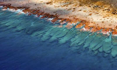
Scientists create largest collection of coral reef maps ever made
(2019)
April 23, 2019

A study from scientists at the Khaled bin Sultan Living Oceans Foundation and the University of Miami (UM) Rosenstiel School of Marine and Atmospheric Science offers a new way to accurately map coral reefs using a combination of Earth-orbiting satellites and field observations. This first-ever global coral reef atlas contains maps of over 65,000 square kilometers (25,097 square miles) of coral reefs and surrounding habitats.
The maps, published today in the journal Coral Reefs, are the result of a 10-year Global Reef Expedition by scientists for the Khaled bin Sultan Living Oceans Foundation. The expedition traveled to over 1,000 remote coral reefs in 15 countries, mapping and surveying the reefs down to a one-square meter scale to better understand their health and resiliency. Many of the reefs visited on the expedition had never been studied before.