Resources
Mayfield, A.B., Dempsey, A.C. Machine-learning algorithms for identifying climate-resilient corals in the Republic of Palau. Discov Oceans 2, 45 (2025). https://doi.org/10.1007/s44289-025-00080-7
Kalman, A., Humphreys, A. F., Adams, Z., Ames, R., Marín, A. R., Dempsey, A. C., & Purkis, S. J. (2025). Foraminifera record historical coral-algal phase shifts on Caribbean coral reefs. Marine Environmental Research, 211, 107437. https://doi.org/10.1016/j.marenvres.2025.107437
Bakker, A.C.B., Gleason, A.C.R., Dempsey, A.C., Bachman, S., Burdick, D., Tarano, A.M., Chirayath, V., & Purkis, S.J. (2024). “Remotely sensed spectral variability predicts reef fish diversity.” Ecological Indicators, 169, 112823. https://doi.org/10.1016/j.ecolind.2024.112823
Anna C. Bakker, Arthur C.R. Gleason, Alexandra C. Dempsey, Helen E. Fox, Rebecca H. Green, Sam J. Purkis, (2024). “Remotely sensed habitat diversity predicts species diversity on coral reefs,” Remote Sensing of Environment, Volume 302, 2024, 113990, ISSN 0034-4257, https://doi.org/10.1016/j.rse.2024.113990.
Serge, A., Maële, B., Stéphane, G. et al. (2024). “Evaluation of the Allen Coral Atlas benthic habitat map product for New Caledonia using representative habitat observations from a multi-species fishery assessment.” Coral Reefs. https://doi.org/10.1007/s00338-024-02481-0.
Sam J. Purkis, Steven N. Ward, Nathan M. Fitzpatrick, James B. Garvin, Dan Slayback, Shane J. Cronin, Monica Palaseanu-Lovejoy, and Alexandra Dempsey (2023). “The 2022 Hunga-Tonga Mega-tsunami: Near-Field Simulation of a Once-in-a-Century Event.” Science Advances.
Mayfield, A.B.; Dempsey, A.C. Environmentally-Driven Variation in the Physiology of a New Caledonian Reef Coral. Oceans 2022, 3, 15–29. https://doi.org/10.3390/oceans3010002
Purkis, S. J., Ward, S. N., Shernisky, H., Chimienti, G., Sharifi, A., Marchese, F., et al. (2022). Tsunamigenic potential of an incipient submarine landslide in the Tiran Straits. Geophysical Research Letters, 49, e2021GL097493. https://doi.org/10.1029/2021GL097493
Humphreys, A.F., Purkis, S.J., Wan, C. et al. A New Foraminiferal Bioindicator for Long-Term Heat Stress on Coral Reefs. J. Earth Sci. 33, 1451–1459 (2022). https://doi.org/10.1007/s12583-021-1543-7
Humphreys, A.F., Abdulla, A., Sherman, S. et al. Amphistegina lobifera foraminifera are excellent bioindicators of heat stress on high latitude Red Sea reefs. Coral Reefs 41, 1211–1223 (2022). https://doi.org/10.1007/s00338-022-02264-5
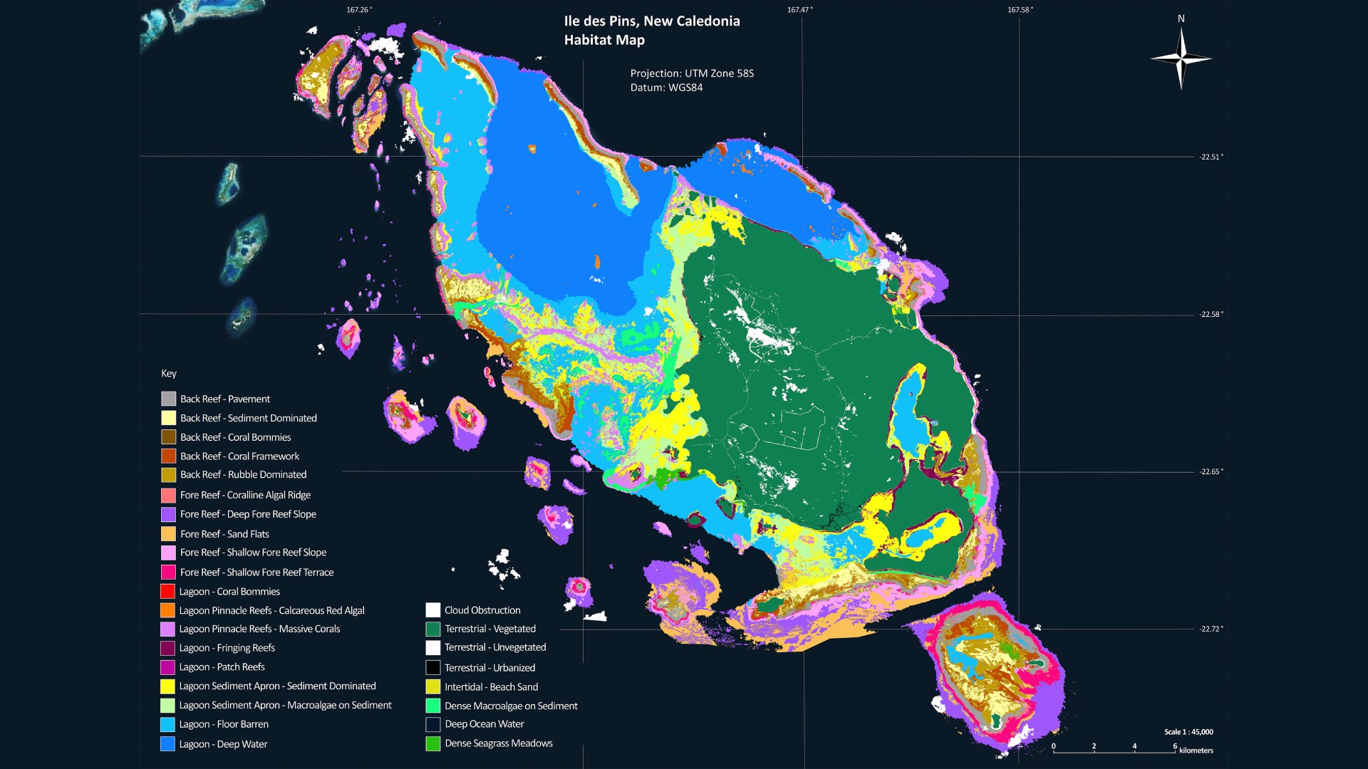
An interactive map to explore all the coral reefs we have surveyed and mapped. This award-winning map is the result of years of work by an extended team of dedicated scientists and many months of field research in remote regions of the world.
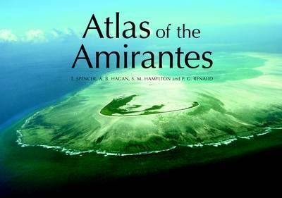
This atlas contains high-resolution benthic habitat maps created from a 2005 Seychelles research project to study the impact of an El Nino Southern Oscillation (ENSO) ocean warming event on their coral reefs. Created for the purpose of aiding the Seychelles government in marine conservation efforts and management plans, it is the result of months of underwater research to survey and map the seafloor.
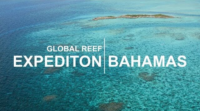
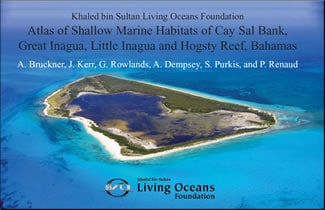
The first atlas produced from research conducted on the Global Reef Expedition, this atlas combines advanced satellite imagery, aerial photography, and data from hundreds of research dives into the first high-resolution coral reef ecosystem maps of many Bahamian reefs.
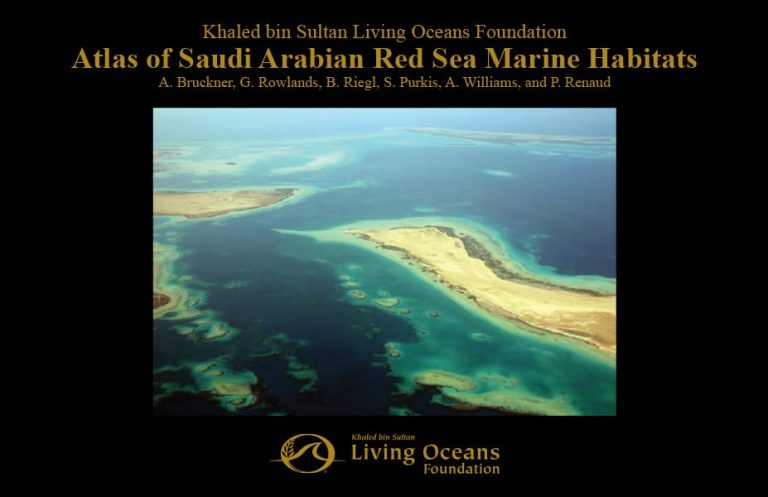
Over a four-year period, the Living Oceans Foundation led a massive marine habitat research project in the Red Sea. The results of our surveys are published in this first-ever atlas to include offshore coral reef habitats in the Red Sea. It is available for download in both English and Arabic.
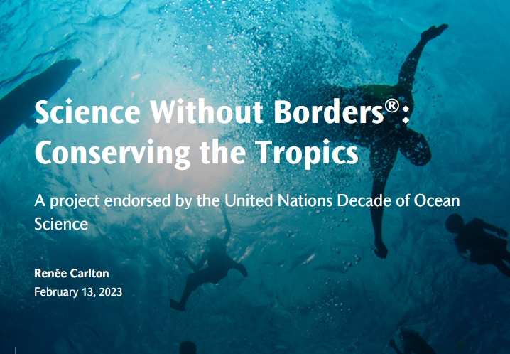
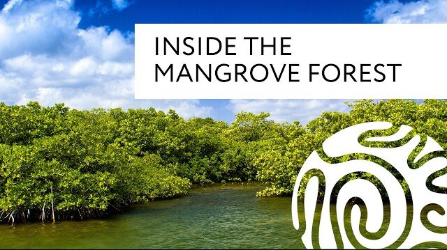
The Foundation’s newest program, Science Without Borders®: Conserving the Tropics, seeks to use what we learned on the Global Reef Expedition to help coastal communities conserve their coastal marine resources, including coral reefs, mangrove forests, and seagrass meadows.
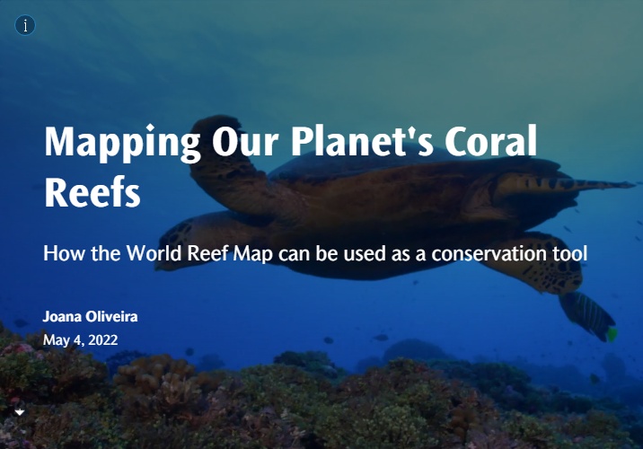
Guides users through the World Reef Map, one of the largest collections of high-resolution coral reef maps ever made. Combining satellite information with data collected in the field, we produced these maps to provide people with the information they need to protect their coral reefs.
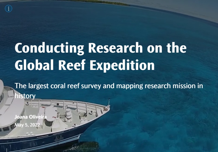
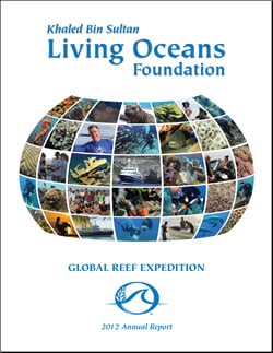
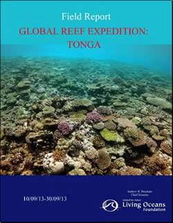
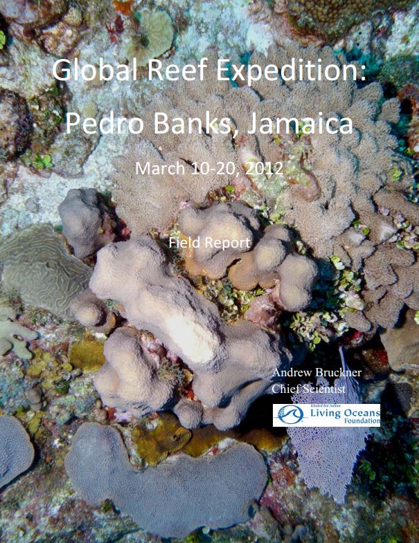
Takes users aboard the Global Reef Expedition, showing them what is happening to coral reefs around the globe. This StoryMap includes survey information, methodology, and the discoveries made studying coral reefs around the globe.
Highlights the top-5 global findings we made on the Global Reef Expedition. These findings illustrate how the coral reef crisis was apparent in every location surveyed, and swift action is needed to conserve our planet’s coral reefs.