search-icon
Exploring Andros and Abaco By Air

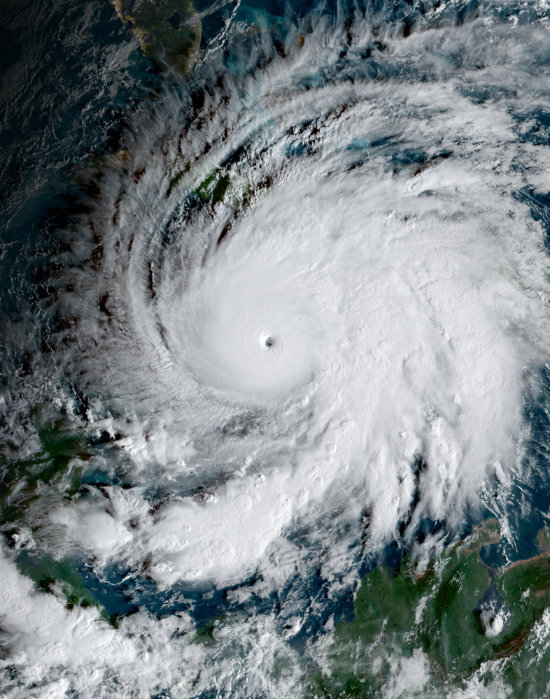
In preparation for the next leg of the Global Reef Expedition, Dr. Sam Purkis, Jeremy Kerr, Captain Steve Breen and Dr. Andy Bruckner  flew over Andros and Abaco Islands, Bahamas  on the Golden Eye seaplane. Their goal was to identify specific research sites and to find anchorages for the Golden Shadow; what they saw was two islands with stark differences.


Left to right: Dr. Andy Bruckner, Dr. Sam Purkis, CAPT Steve Breen, and Jeremy Kerr

The flight took them from the western (leeward) end of Andros to the southern tip, crossing over sand flats and seagrass beds, many of which were circular and contained a central halo much like that seen in Cay Sal Bank.

Seagrass halos off Andros Island


Extensive shallow estuarine lakes were carved into the low-lying karst topography on the western Andros Island, the largest island in the Bahamian archipelago.  There were also many deep blue-colored, round sinkholes and in-filled depressions with dense vegetation.

Blue hole on Andros Island


The reef formed a narrow fringe dropping quickly into the Tongue of the Ocean, which reaches depths of 6000 feet or more.  A dense elkhorn coral framework with occasional live corals was visible close to the reef crest. Immediately seaward of this, reef habitats were packed full of small pillar-like star coral bommies.  Moving sand waves and stabilized underwater dunes covered an extensive area at the northern end of Andros on the landward side of the reef.

Underwater ooid sand dunes
Underwater sand dunes


Abaco, the second largest island in the Bahamas was stark contrast to Andros, with a higher density of buildings, golf courses, and other signs of human development.

Low development on Andros Island
Developments on Abaco Island


A well-developed barrier reef fringes the eastern end of Abaco island. It is separated from Abaco by a narrow waterway and lies seaward of a line of small islands.

Abaco barrier reef
Abaco barrier reef


The team took extensive aerial photographs and are now ready for the next leg of the Global Reef Expedition.

(Photo/Images by: 1, 4 Dr. Sam Purkis, 2, 3, 6-7 Dr. Andy Bruckner, 5 Jeremy Kerr)

To follow along and see more photos, please visit us on Facebook! You can also follow the expedition on our Global Reef Expedition page, where there is more information about our research and our team members.

Related Posts

After the Storm: Standing with Our J.A.M.I.N. Family in Jamaica

There are moments in this work that feel heartbreakingly familiar.

Two weeks after we completed our Jamaica Awareness of Mangroves in Nature (J.A.M.I.N.) programming, Hurricane Melissa made landfall. A powerful Category 5 hurricane, Melissa is now tied with Hurricane Allen in 1980 for the strongest winds ever recorded in an Atlantic storm. Like Hurricane Dorian, which devastated The Bahamas in 2019, Melissa will be remembered as one of the strongest hurricanes on record in the region.

For 11 years, the University of the West Indies Discovery Bay Marine Laboratory and William Knibb Memorial High School have been more than program partners. They have welcomed us into their classrooms and labs, shared meals and laughter, and committed themselves to educating their students about mangroves and coastal resilience. These colleagues and students are not distant collaborators. They are family.

And they were hit hard…

Read More

B.A.M. Turns 10: A Year of Milestones, Resilience, and Growth

The 2025–2026 academic year was one of those defining years for our Bahamas Awareness of Mangroves (B.A.M.) and Jamaica Awareness of Mangroves in Nature (J.A.M.I.N.) programs. It was a year marked by celebration, challenge, growth, and powerful full-circle moments, and a reminder of why mangrove education matters.

In The Bahamas, B.A.M. reached a major milestone: ten years of partnership and environmental education in Abaco. Since 2015, in collaboration with Friends of the Environment, we have worked alongside Patrick J. Bethel High School and Forest Heights Academy to bring hands-on mangrove science into classrooms and into the field. This year, we were proud to expand the program to S.C. Bootle High School, increasing access for students who live…

Read More
Privacy Overview

This website uses cookies so that we can provide you with the best user experience possible. Cookie information is stored in your browser and performs functions such as recognising you when you return to our website and helping our team to understand which sections of the website you find most interesting and useful.  You can view our complete Privacy Policy here.

Strictly Necessary Cookies

Most of our cookies are used to improve website security and reduce spam. These cookies should be enabled at all times. They also enable us to save your preferences for cookie settings.

3rd Party Cookies

This website uses Google Analytics to collect anonymous information such as the number of visitors to the site, and the most popular pages. Keeping this cookie enabled helps us to improve our website.