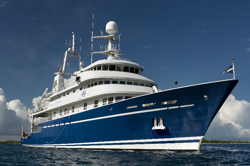
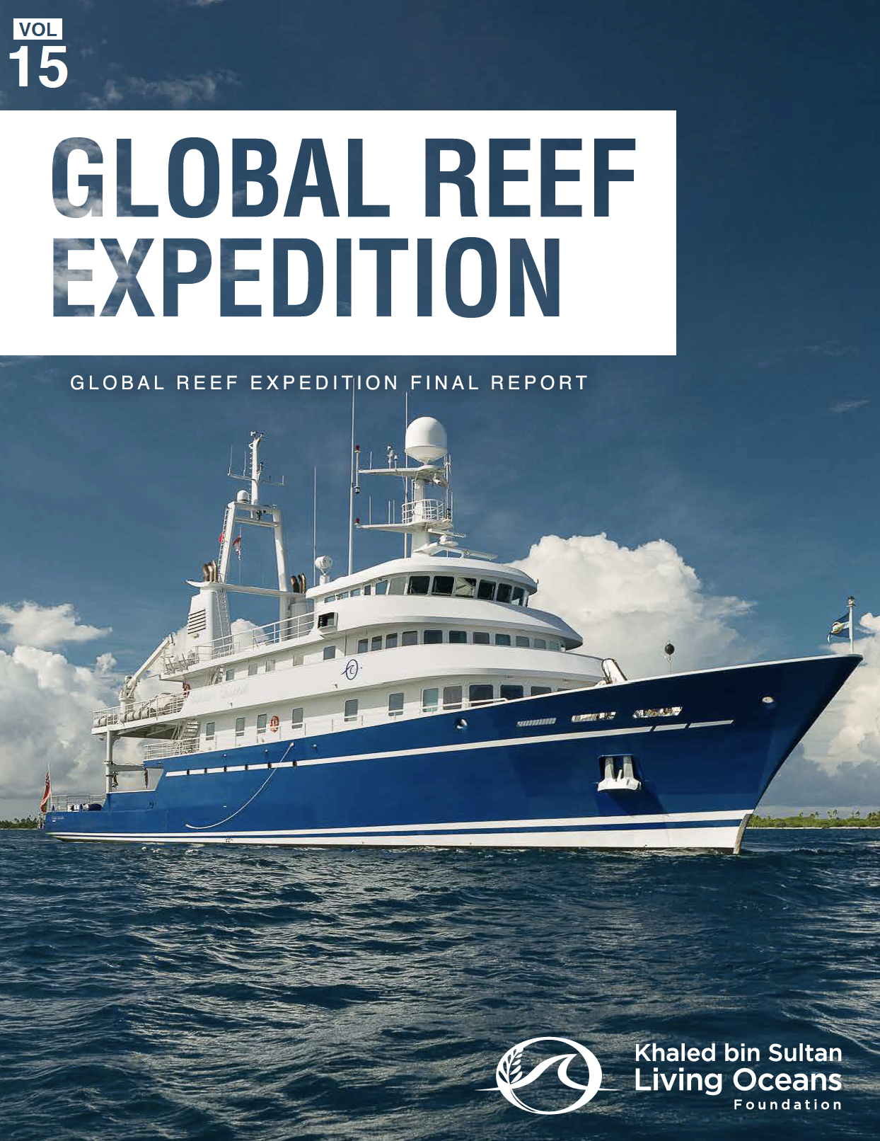
Coral reefs offer a variety of ecosystem services, including sustenance, economic opportunities, and protection from natural disturbances, as well as playing an essential cultural role for thousands of communities. However, globally, the extent of the world’s reefs is being degraded at an astounding rate. To better understand the coral reef crisis, we embarked on the Global Reef Expedition (GRE), the world’s largest coral reef survey and high-resolution habitat mapping initiative, to assess the status of Earth’s reefs at a critical point in time. The GRE brought together an international team of over 200 scientists, educators, photographers, and filmmakers who circumnavigated the globe surveying some of the most remote coral reefs in the world.
This month, we published a report summarizing all of our findings from the Global Reef Expedition.
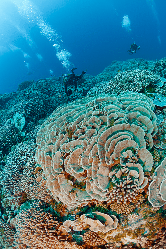
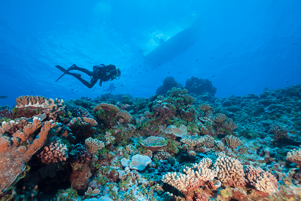
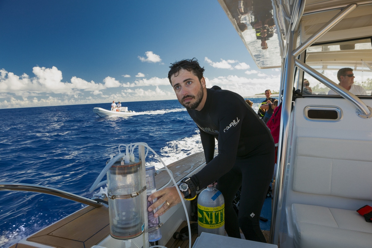
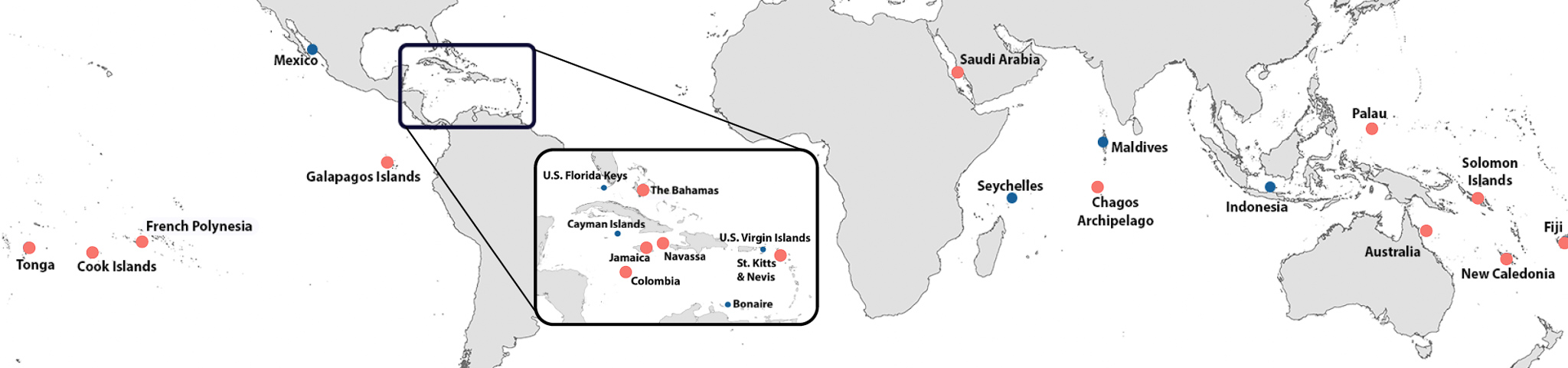
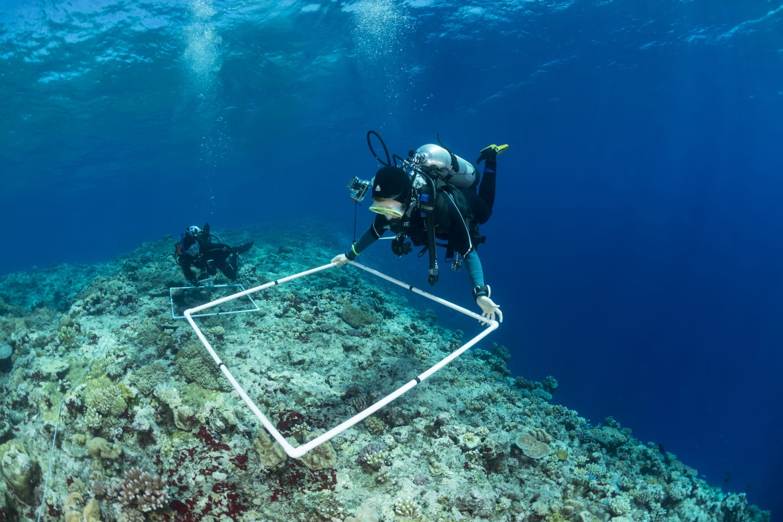
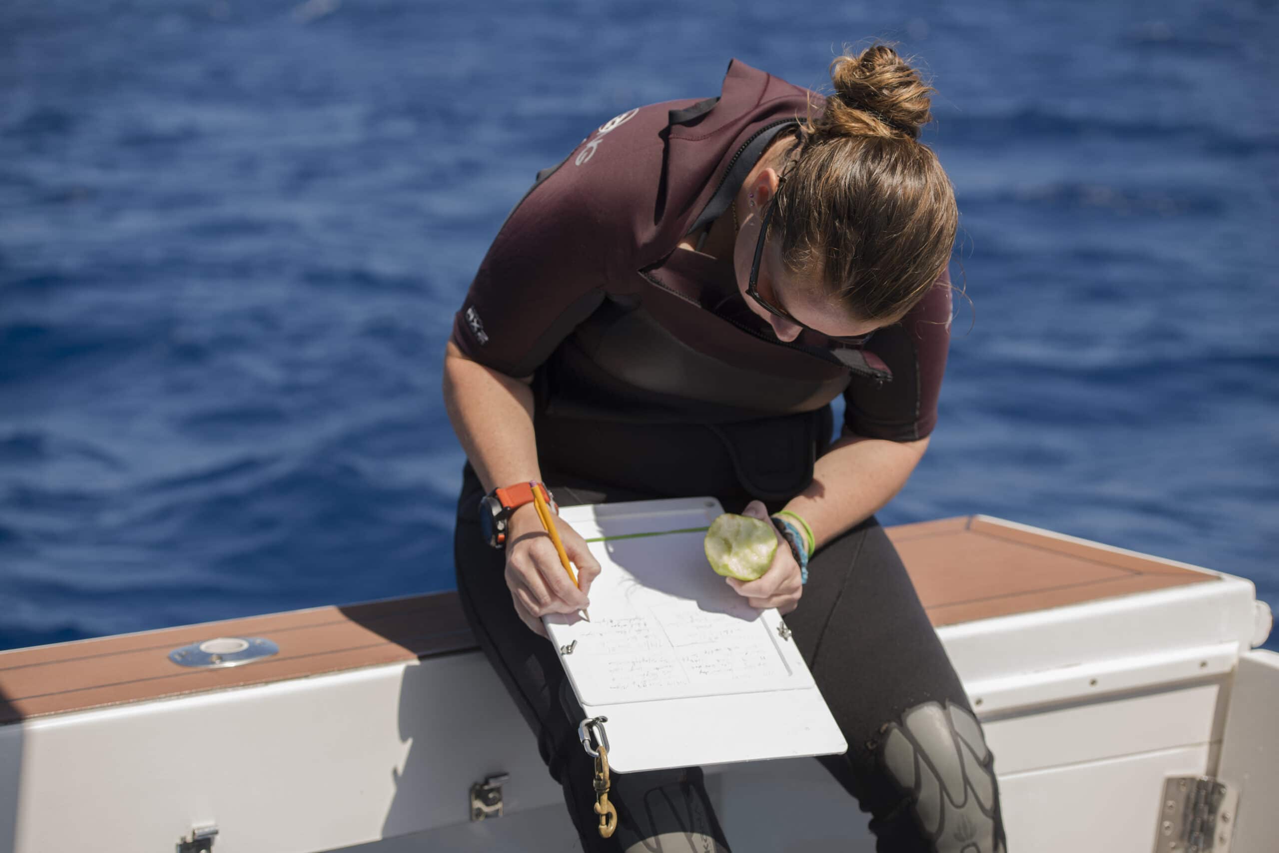
From 2006-2015, the GRE visited 16 countries and territories around the globe, starting along the Saudi Arabian Red Sea coastline, traveling throughout the Caribbean and tropical Pacific Ocean, and ending in the Chagos Archipelago in the Indian Ocean. Local representatives from the communities provided invaluable knowledge and helped us share our findings with the residents. Our team of scientists used standardized methods to map and assess the benthic and fish communities, allowing us to evaluate the reefs across large geographic areas. As the science team was conducting research, our team of educators worked in real time with communities to share discoveries. In turn, knowledge of how the local communities managed their marine resources was shared with the scientists at sea. Our photographers and filmmakers produced award-winning films to showcase the work and transport audiences to places they may have never otherwise seen.
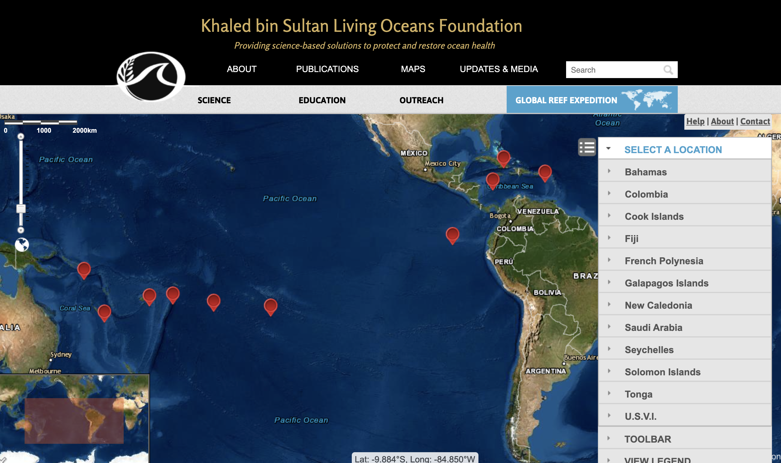
Using high-resolution satellite imagery, KSLOF was able to map over 65,000 km2 of coastal marine habitats in 10 countries and territories across the globe. This mapping endeavor produced the most comprehensive atlas of ground-truthed high-resolution coral reef habitat maps. Two publications, the Atlas of the Saudi Arabian Red Sea Habitat and the Atlas of Shallow Marine Habitats of Cay Sal Bank, Great Inagua, Little Inagua, and Hogsty Reef, Bahamas, were released by the foundation and are freely available on our website. One of the most useful tools developed because of the mapping component of the GRE is the web-based World Reef Map. This is a global, online, interactive map that allows users to explore all the surveyed coral reefs.
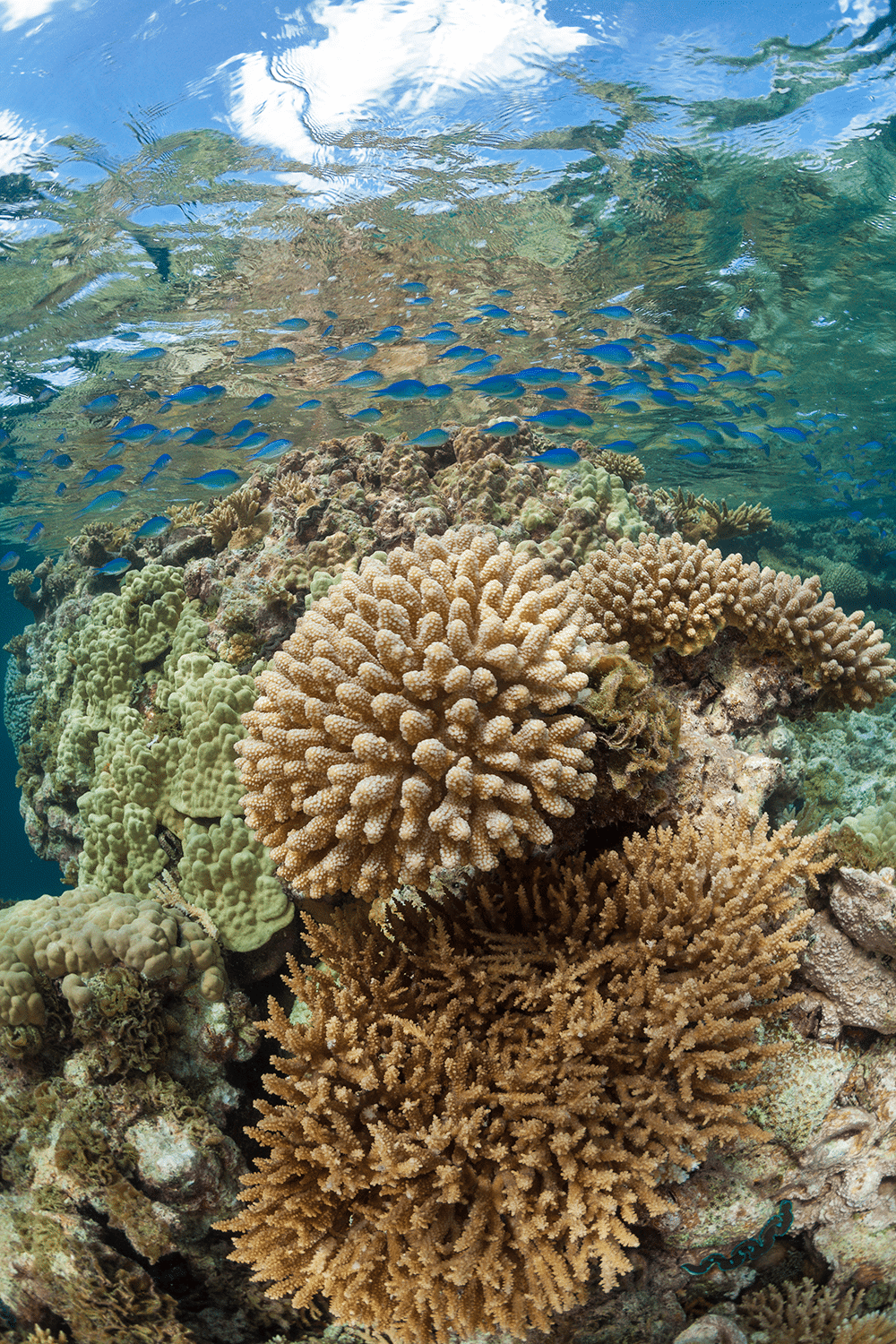
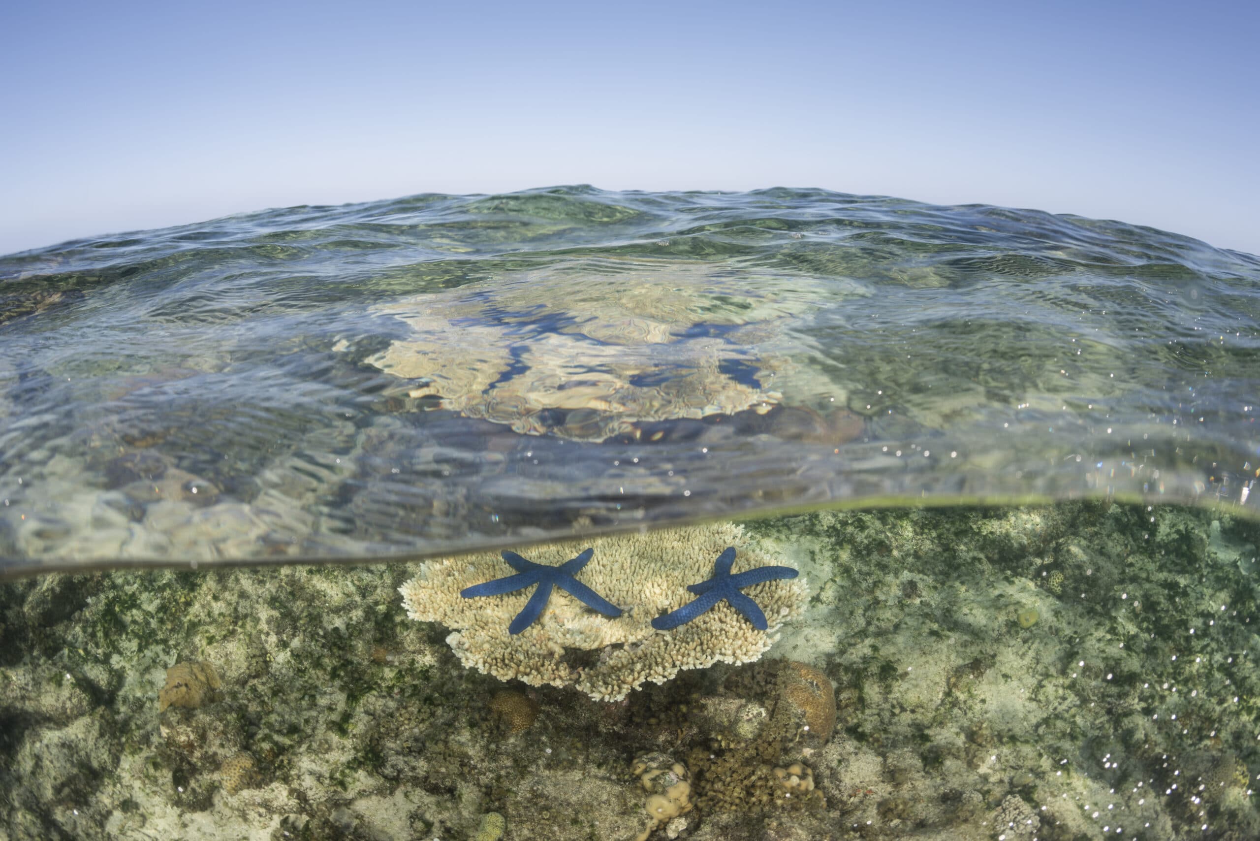
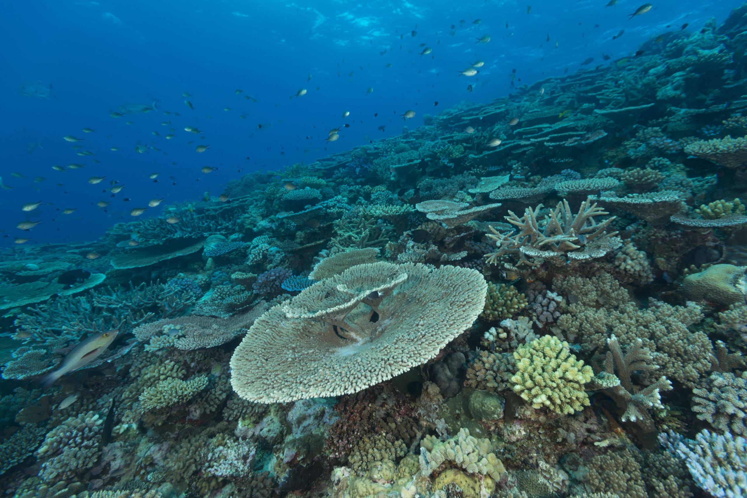
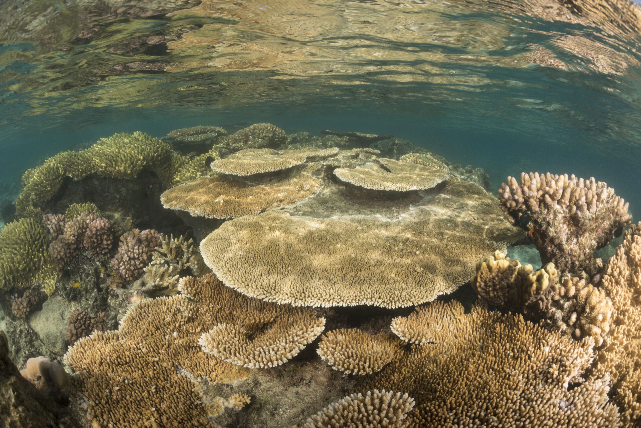
We found that whether we were visiting some of the most remote untouched reefs, or reefs being used by local communities, nearly every location we surveyed showed signs of the coral reef crisis. Both natural and human impacts were threatening the survival of coral reefs, and there were few places that remained undisturbed. Damage from overfishing, coral bleaching, and oubreaks of crown-of-thorns starfish were observed on even the world’s most remote and well-protected reefs. Swift action will be needed to address major distruptors, like climate change and overfishing, if we hope to preserve coral reefs for future generations. Encouragingly, we found that in most cases, areas with the highest protection had some of the best coral and fish populations, highlighting the success of marine protected areas and their ability to conserve reefs.
The GRE took place at a critical time, providing a baseline dataset that is being used by scientists and managers around the world to help battle the ongoing coral reef crisis. Over 100 peer-reviewed scientific papers, reports, and management plans have been published using data collected on the GRE. Our work has helped establish internationally recognized Marine Protected Areas and locally managed areas around the globe. Currently, our maps are being used in partnership with NASA to help map the remainder of the world’s reefs. These maps can be used to aid in conservation efforts at an even larger scope than the already expansive GRE.

Drastic measures are needed to address the coral reef crisis. KSLOF hopes the findings in this report, as well as our many resources that resulted from the GRE, will be used by scientists, managers, and communities around the world to support their conservation efforts. This expedition would not have been feasible without the tireless work of our partners and everyone who participated on the GRE. The gracious financing and support from His Royal Highness Prince Khaled bin Sultan Abdulaziz Al-Saud made this work possible, and for that, we will be forever indebted.
GRE Final Report
The Global Reef Expedition Final Report summarizes the findings from our 10-year research mission to survey and map coral reefs across the Atlantic, Pacific, and Indian Oceans as well as the Red Sea. The Expedition involved hundreds of research scientists from around the world, and became one of the largest coral reef research missions in history.

